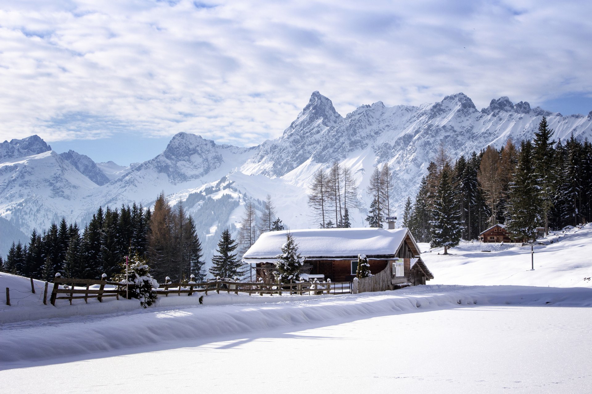
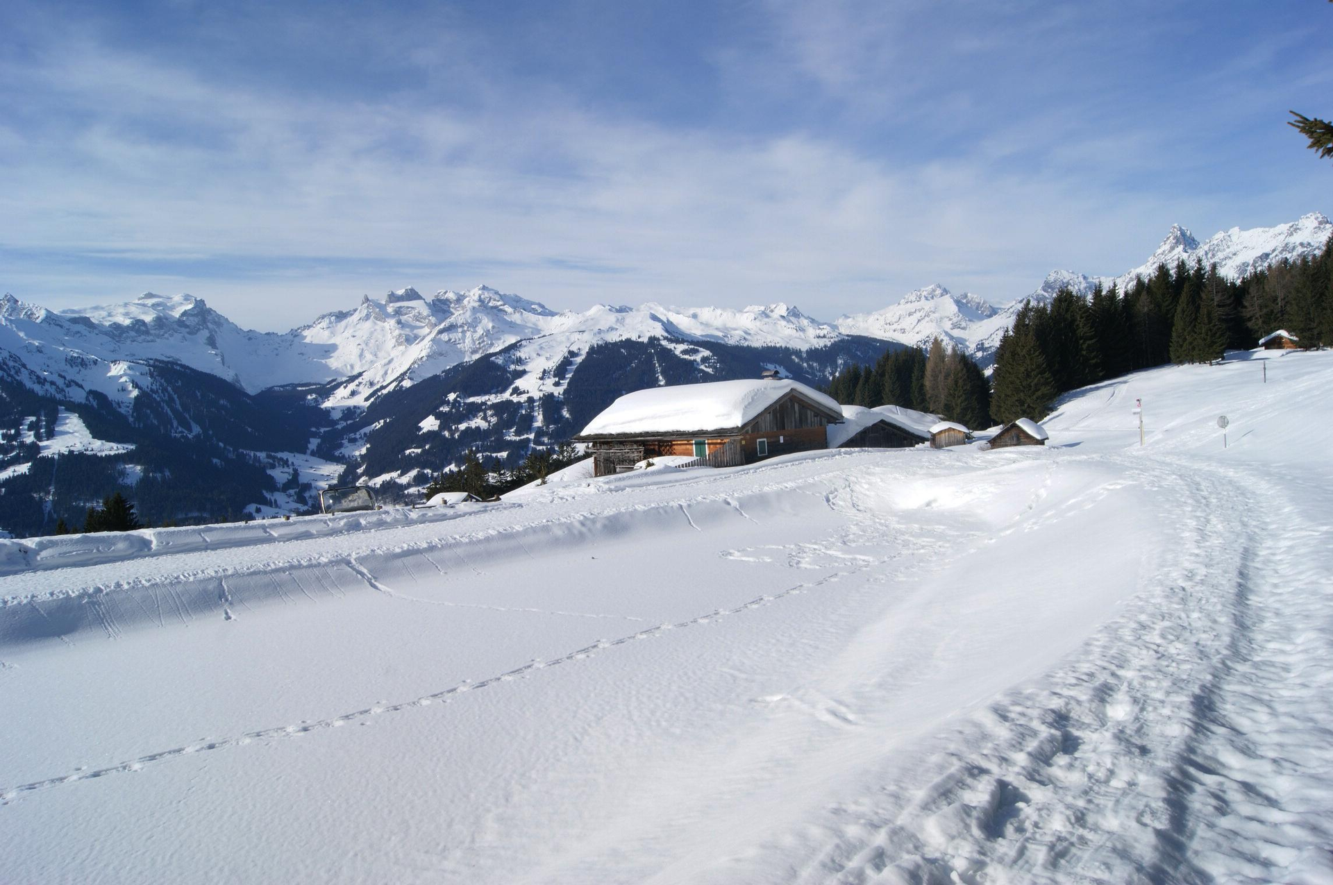
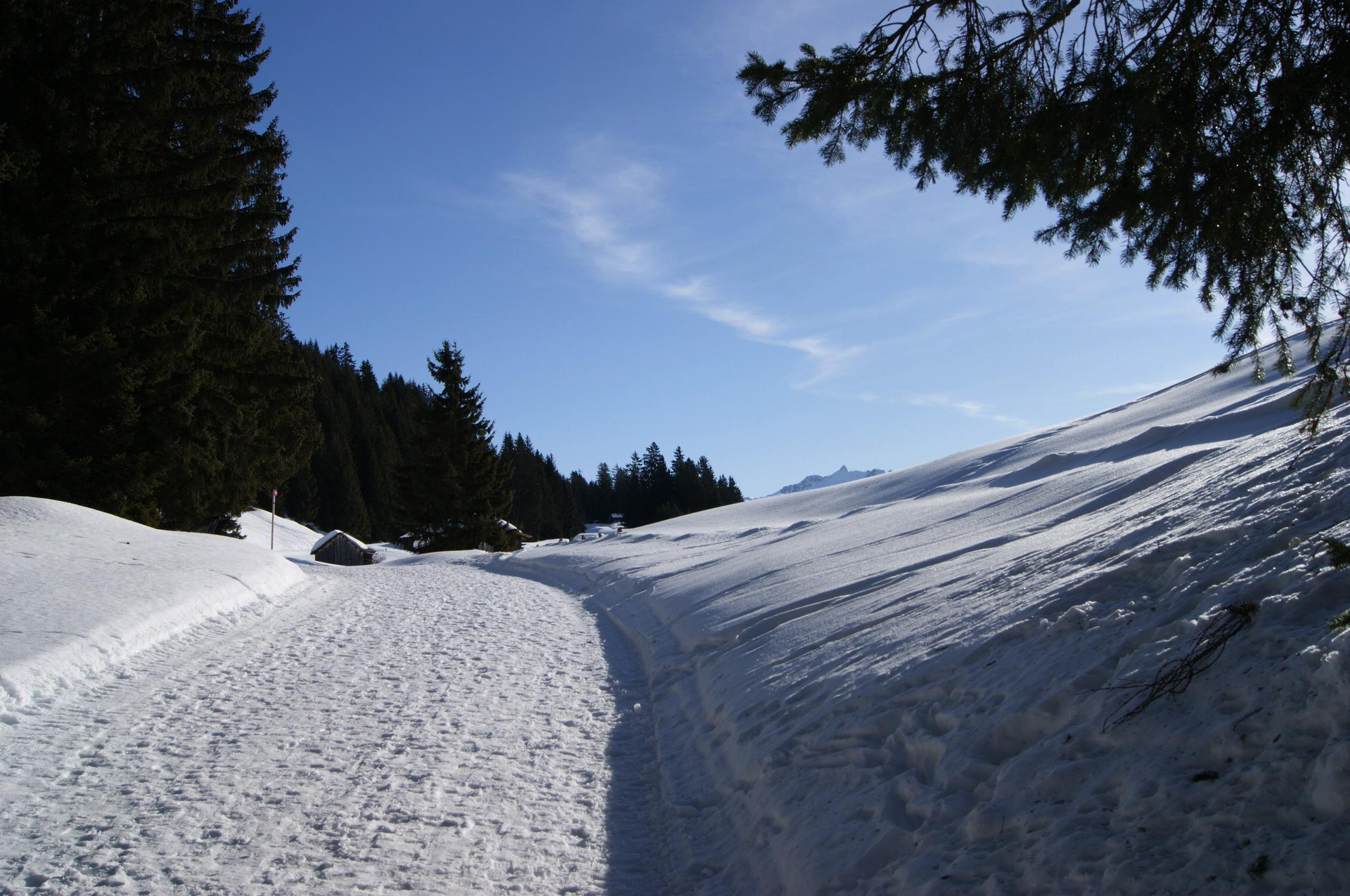
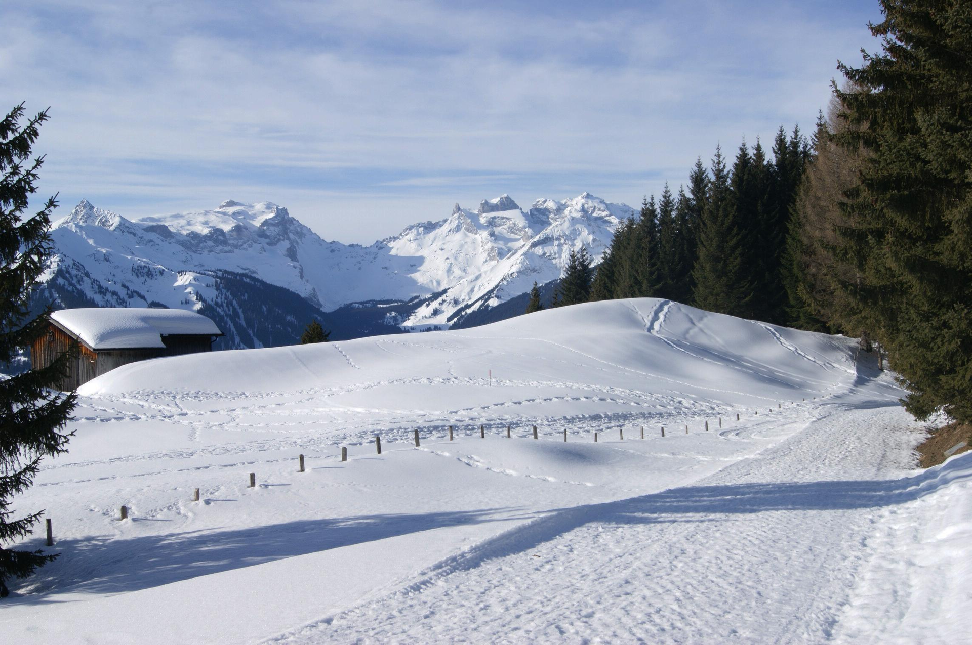
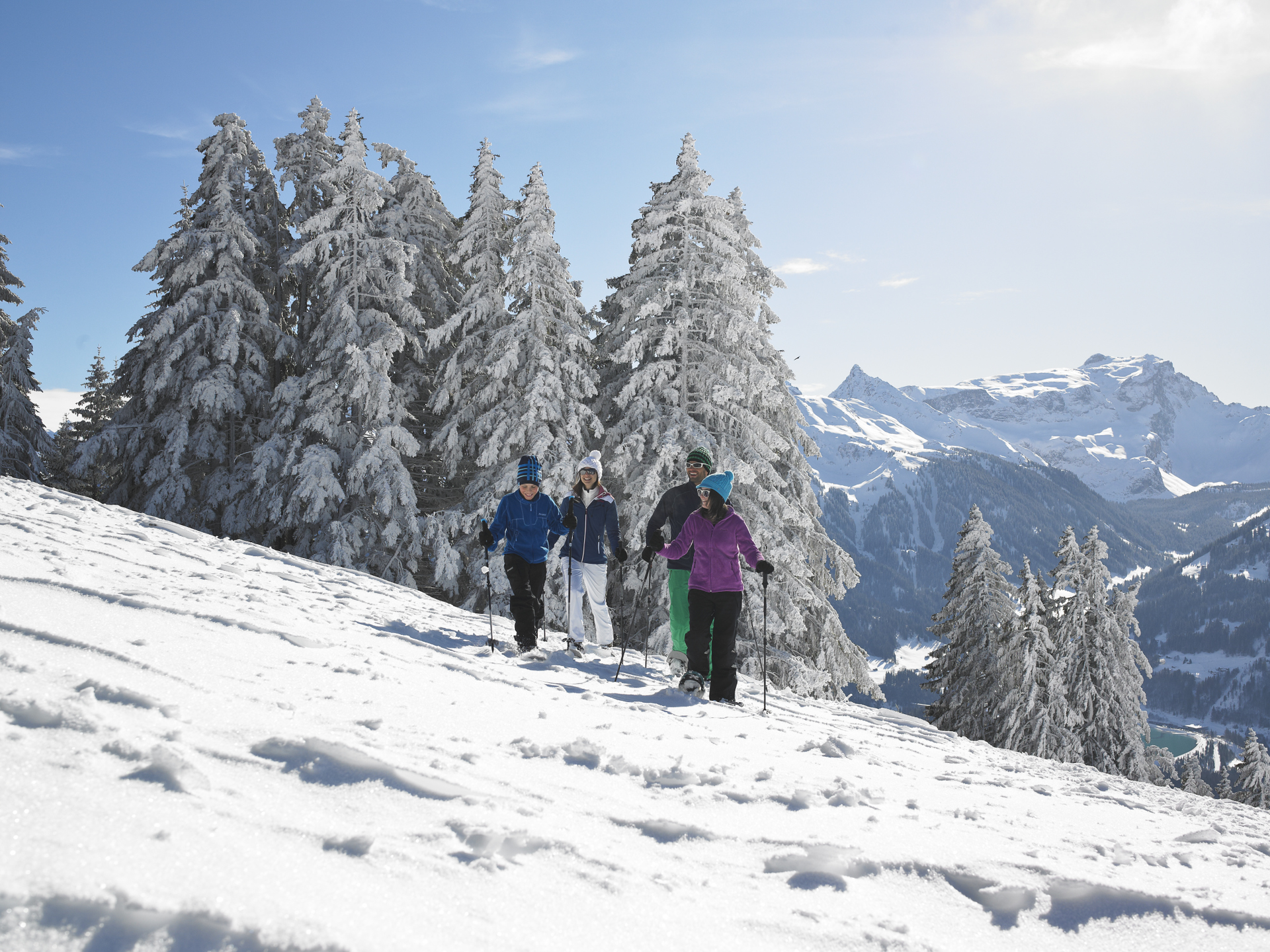
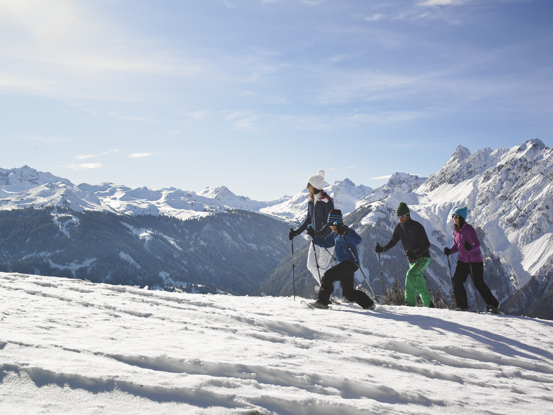
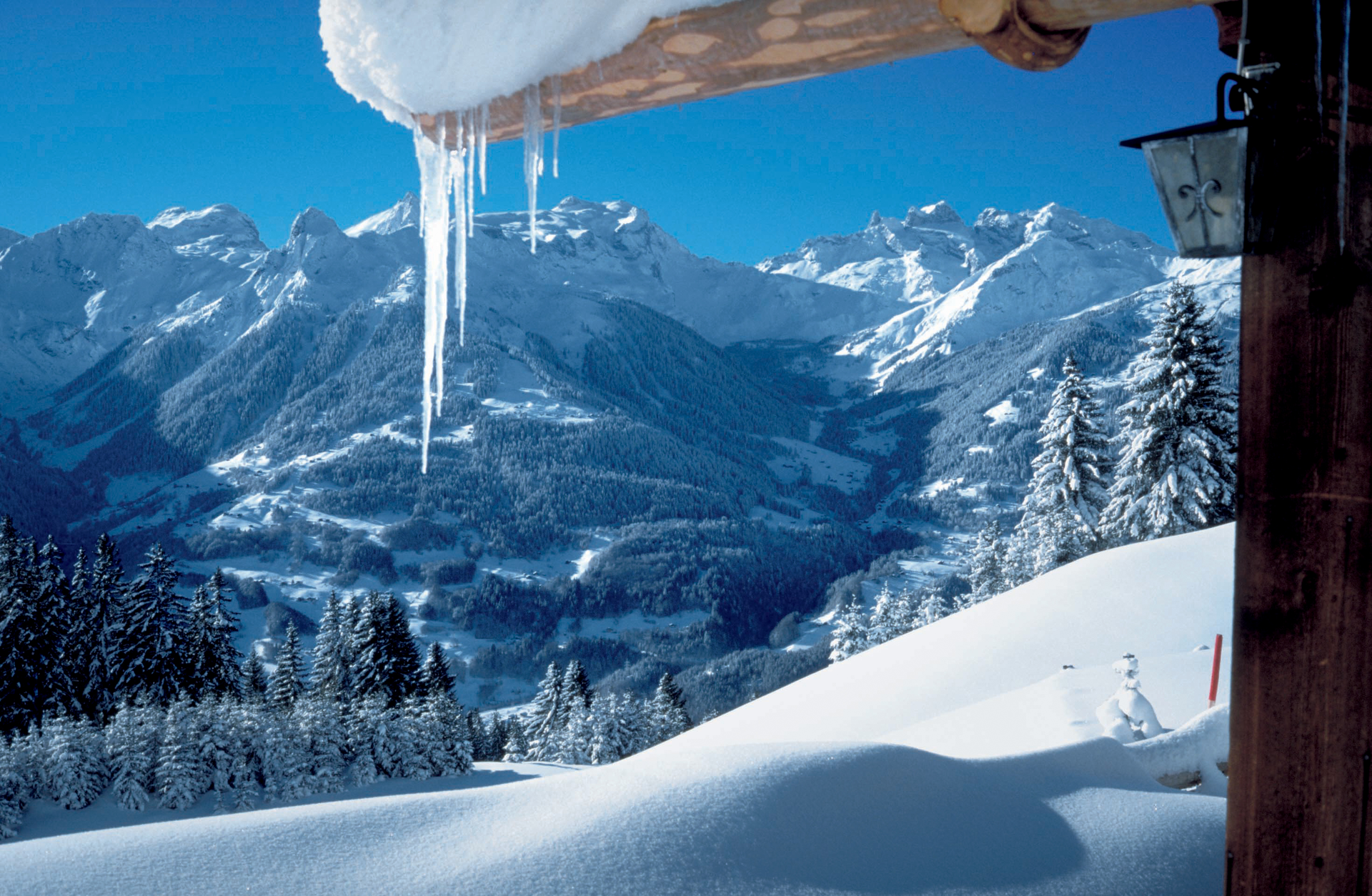
The circular hiking route starts in the village of Bartholomäberg at the main signpost opposite the Baroque church. From there, you follow the Lindaweg, a little-trafficked road, upwards to the Fritzatobel. In a curve above the ravine, the actual hiking trail begins at the end of the cleared road. It leads through a small ravine forest and on a short steep section to the snow-covered mountain pastures of Goritschang. As you go uphill, the view constantly broadens. Initially, it was directed only at the Vandanser Steinwand and the Zimba; now it extends over the eastern Rätikon to the three-thousanders of the Silvretta. From Goritschang, the route continues ascending through the mountain forest. At a junction, you can choose to make a detour to the Rellseck viewpoint (1,492m) or continue the circular hike directly towards the Fritzensee. Although only a snow-covered ice surface can be seen on the Fritzensee, there is a unique panoramic view of the inner Montafon from the alpine huts of Fritza Legi. Looking back, the Zimba appears at its most impressive side, with its contours resembling the Matterhorn. In the forest above the Fritzensee, the highest point of the hike (1,480m) is reached. Then, in the so-called Lippaloch, the trail descends briefly and somewhat steeply towards the alpine huts of Garsella. Here, you re-enter a scenic hillside terrace, where the view turns more towards the Silbertal and the mountains of the Verwall. At the "Berthold-Rank," the next junction is reached. Many hikers enjoy the high-altitude stroll to Innerberg from here. On our shorter circular hike, however, we go right down through the mountain forest to the uppermost houses of the Sassella parcel. From there, it is again a cleared access road on which you return to Bartholomäberg—with views now into the Gauertal and to the Drei Türme.