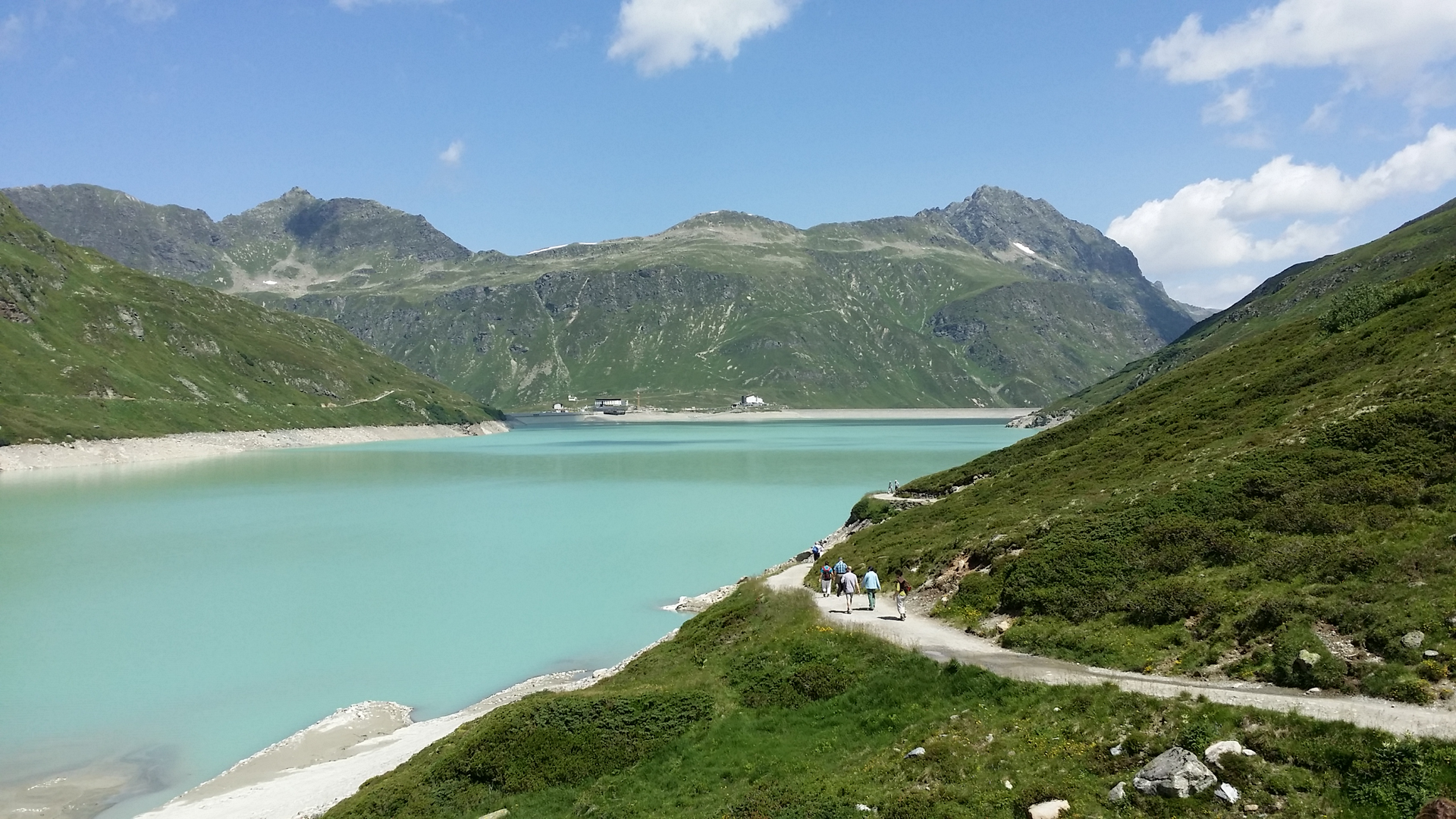
Silvretta​-​Bielerhöhe ​-​ Radsattel

Difficult
Einkehrmöglichkeit
Rundtour
Hiking · Refreshment stops · Round trip
05:30 h duration
15,2 km Länge
2653 m Höchster Punkt
2018 m Tiefster Punkt
849 hm Aufstieg
850 hm Abstieg
Kondition
Schwierigkeit
Erlebnis
Landschaft

Tourbeschreibung

Silvretta-Bielerhöhe - Bieltal - Radsattel - Wiesbadener Hütte - through the Ochsental back to Silvretta-Bielerhöhe

Description

Opening hours of the Wiesbadener Hütte, are strongly weather-dependent:

Wiesbadener Hütte: from the end of June to the beginning of October

Approach

Take the A14 to the Bludenz/Montafon exit and continue on Montafonerstraße L188. Via Partenen you reach the Silvretta High Alpine Road (toll road).

Public transport

Just leave your car standing

Regional buses run throughout Montafon. The main lines depart every half hour from Schruns station.

Bus stop at the start/finish of the route: Bielerhöhe Silvrettasee/ line 650

Timetable: www.vmobil.at

Arrival by train to Montafon

From Bludenz station, the Montafonerbahn runs hourly (partly every half hour). There are also direct connections from Lindau (D) and from Bregenz.

Timetable: www.oebb.at

Parking

Silvrettasee parking lot

Directions

The path leads from Silvretta-Bielerhöhe (2,032 m) into the Bieltal. Along the Bielbach, we hike up to the Radsattel (2650 m). The descent leads via the Wiesbadener Hütte (2443 m), through the Ochsental to the Silvretta Lake and back to the starting point.

Safety instructions

EMERGENCY CALL:
140 alpine emergencies Austria-wide
144 alpine emergencies Vorarlberg
112 Euro emergency call (works with any mobile phone/network)
www.vorarlberg.travel/sicherheitstipps

Equipment

sturdy footwear

Destination

Bus stop Silvrettasee, Silvretta-Bielerhöhe

Starting Point

Bus stop Silvrettasee, Silvretta-Bielerhöhe

Eigenschaften
Routentyp Hiking, Refreshment stops, Round trip
Schwierigkeit Difficult
Höhenprofil
Beste Jahreszeit
Jan
Feb
Mär
Apr
Mai
Jun
Jul
Aug
Sep
Okt
Nov
Dez