Village walk from Gaschurn to St​.​ Gallenkirch

Easy
Einkehrmöglichkeit
Familienfreundlich
Winter hiking · Refreshment stops · Family-friendly
02:00 h duration
6,73 km Länge
981 m Höchster Punkt
845 m Tiefster Punkt
42 hm Aufstieg
144 hm Abstieg
Kondition
Technik
Schwierigkeit
Erlebnis
Landschaft

Tourbeschreibung

The Hochmontafon cannot be explored better than on this comfortable winter hike along the old railway track by the Ill to St. Gallenkirch.

Description

There was a time when a railway line reached the remotest part of the Montafon. Specifically, between 1928 and 1953, during the construction of the power plant between Tschagguns and Partenen, a narrow-gauge railway of the Illwerke was in operation. The disused railway track today serves mostly as a driving and walking path and in winter as a hiking trail from village to village.

Approach

Take the A14 to the Bludenz/Montafon exit and continue on Montafonerstraße L188 to Gaschurn.

Public transport

Just leave your car behind

The regional buses operate throughout the Montafon. The main lines run every half hour from Schruns station.

Bus stop at the start of the route: Gaschurn Church / Line 650

Bus stop at the end of the route: St. Gallenkirch Center / Line 650

Timetable: www.vmobil.at

Traveling by train to Montafon

From Bludenz station, the Montafonerbahn runs hourly (partly every half hour). There are also direct connections from Lindau (D) and Bregenz.

Timetable: www.oebb.at

Parking

Directly at the Gaschurn town hall or at the school parking lot opposite the Versettla cable car.

Directions

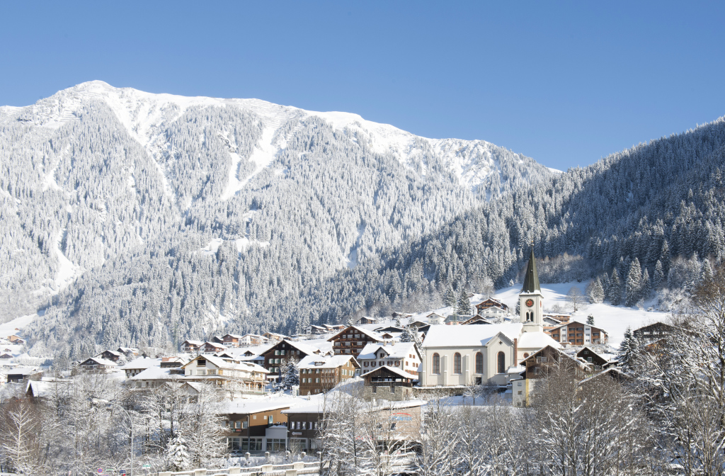
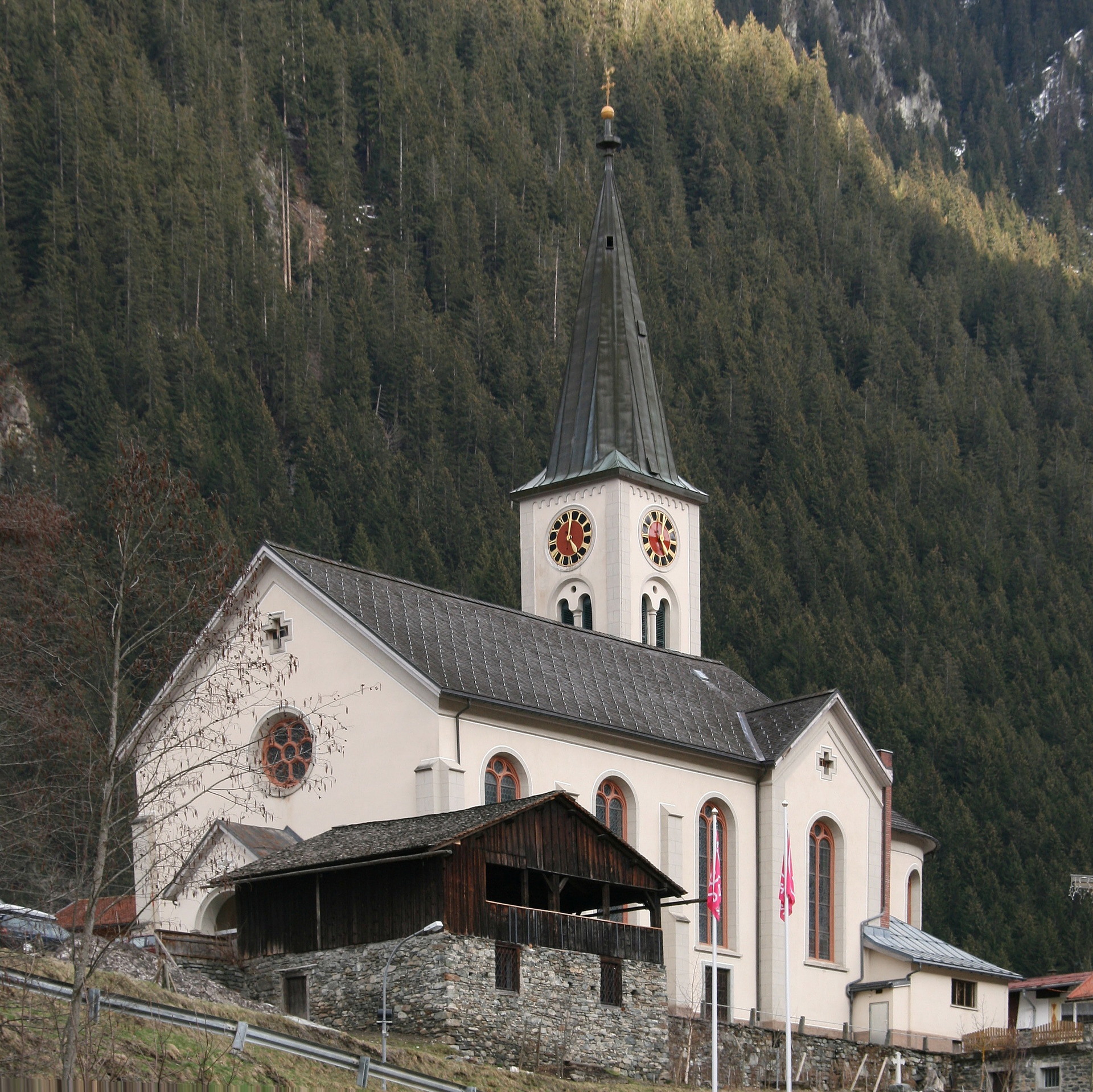
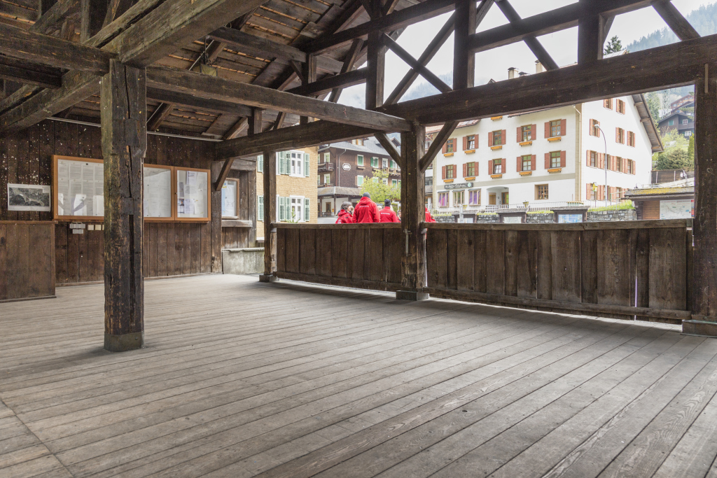
The easy winter hike starts from the center heading upstream and passes by the dance pavilion, parish church, and museum. Shortly afterwards, you turn right and follow the path down to the Maria Schnee chapel. This was built in the 17th century. Near the Ill, you walk through the lowest part of the village of Gaschurn. After going under the state road, you pass the Mountain Beach leisure park and continue further downstream.
Shortly afterwards, the cross-country ski trail turns left at a campsite, but the hiking route continues straight ahead.

Soon there is the option to make a pit stop in the village of Gortipohl. However, the hike continues to follow the old railway track to the valley station of the Garfrescha cable car. It continues downstream and then follows the path into the center of St. Gallenkirch.

The hiking trail is continuously illuminated and can also be used in the evening hours.

You can return to Gaschurn by public bus (line 85 – pay attention to departure times).

Safety instructions

EMERGENCY CALL:
140 Alpine emergencies Austria-wide
144 Alpine emergencies Vorarlberg
112 Euro emergency call (works with any mobile phone/network)
www.vorarlberg.travel/sicherheitstipps
www.vorarlberg.at/lawine

Destination

St. Gallenkirch, center

Starting Point

Gaschurn, center

Eigenschaften
Routentyp Winter hiking, Refreshment stops, Family-friendly
Schwierigkeit Easy
Höhenprofil
Beste Jahreszeit
Jan
Feb
Mär
Apr
Mai
Jun
Jul
Aug
Sep
Okt
Nov
Dez