Grabs into the Gauertal and back

Moderate
Einkehrmöglichkeit
Rundtour
Winter hiking · Refreshment stops · Round trip
03:00 h duration
8,37 km Länge
1377 m Höchster Punkt
1123 m Tiefster Punkt
379 hm Aufstieg
379 hm Abstieg
Kondition
Schwierigkeit
Erlebnis
Landschaft

Tourbeschreibung

Berggasthof Grabs – Sanüel – Volsporaweg – Gauen – Gauertalhaus – Volsporaweg – Sanüel – Berggasthof Grabs

Approach
Public transport
Directions

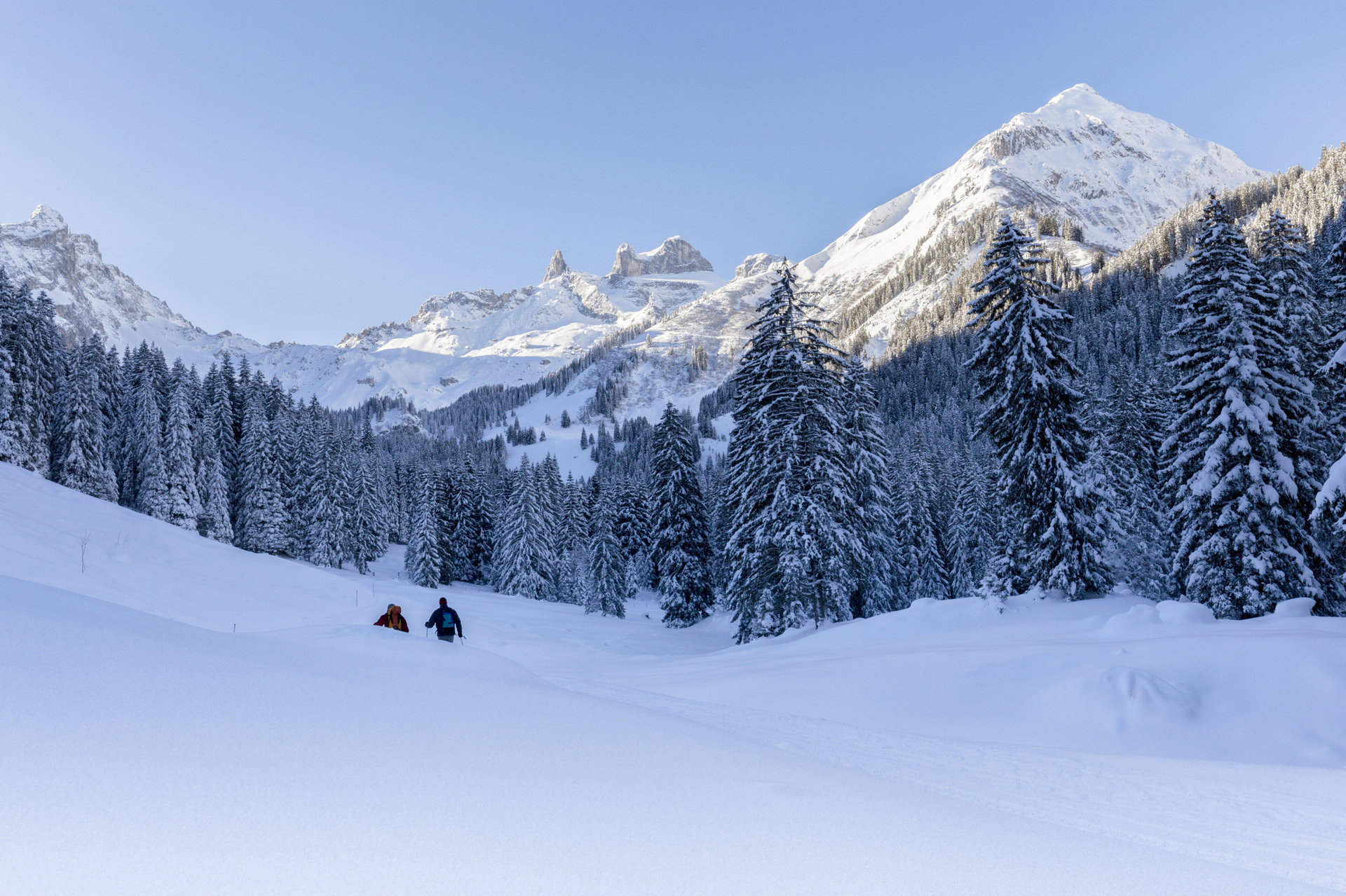
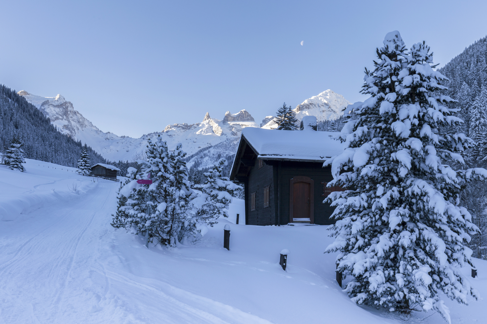
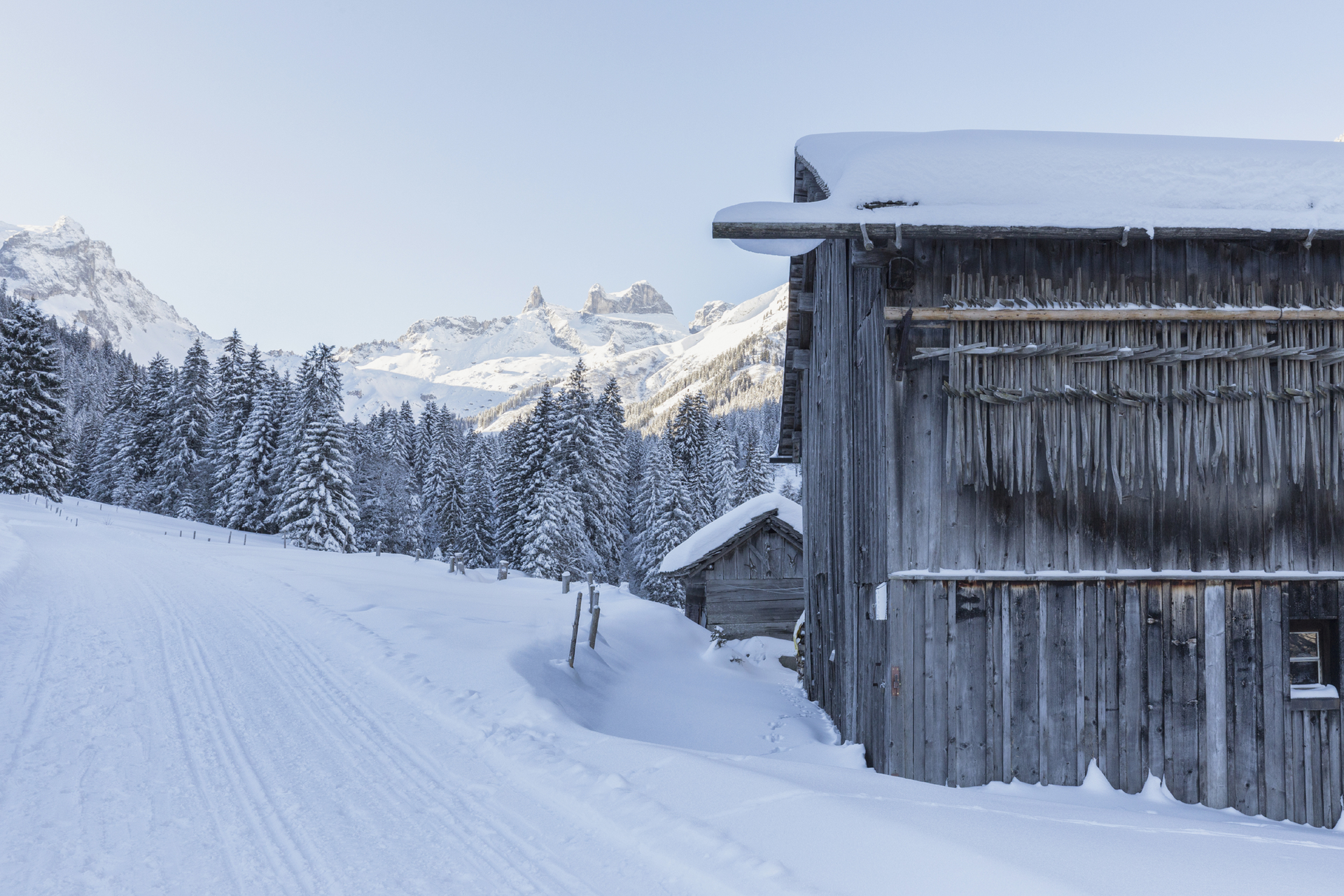
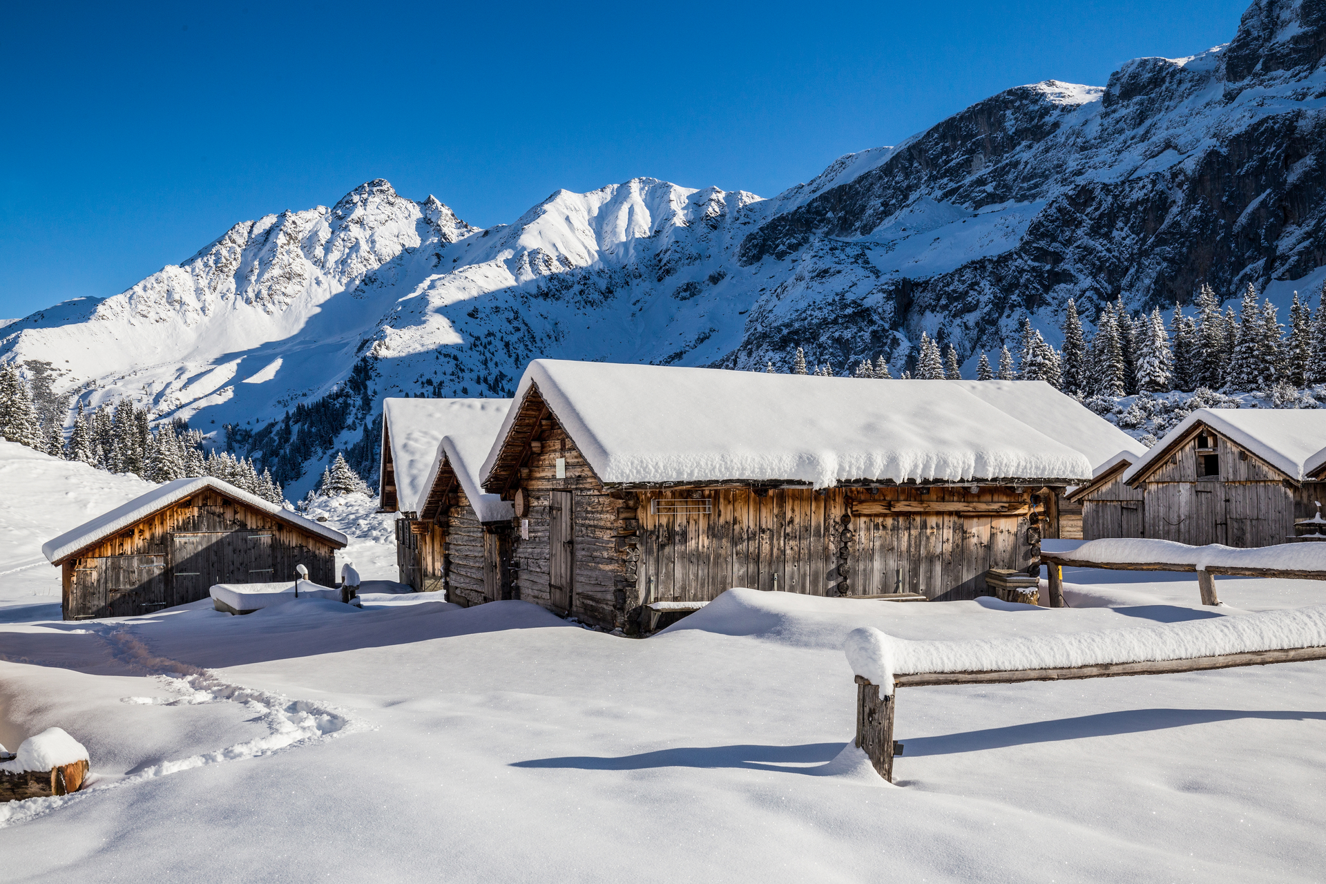
The hike starts at Berggasthof Grabs and leads over Sanüel through snowy forests down into the Gauertal. Along the Volsporaweg, you walk upstream in the valley towards Lindauer Hut. At the Gauertalweg Letzibach junction, you cross the bridge over the Rasafei stream and follow the Gauertalweg downstream. About halfway you reach the Gauertalhaus. Here, a stopover is recommended. Continue along the Gauertalweg downstream to another junction. Turn right and follow the path uphill for a short distance. You reach the Maisäß settlement on Volspora. Via the Volsporaweg and Sanüel, you return to the starting point, Berggasthof Grabs.

Safety instructions

Emergency number: 144

European emergency number: 112 (works with any mobile/ network)

http://www.vorarlberg.travel/de/winter-sicherheitstipps/

Equipment

Good footwear, poles recommended

Tips

This route is marked with the pink number 22 on the overview map "Aktivkarte Schnee." The map is available for free at the Montafon tourist offices.

Destination

Tschagguns, Berggasthof Grabs

Starting Point

Tschagguns, Berggasthof Grabs

Eigenschaften
Routentyp Winter hiking, Refreshment stops, Round trip
Schwierigkeit Moderate
Höhenprofil
Beste Jahreszeit
Jan
Feb
Mär
Apr
Mai
Jun
Jul
Aug
Sep
Okt
Nov
Dez