Large village circular hiking route ​(​Geological hiking route​)​

Moderate
Rundtour
Hiking · Round trip
02:30 h duration
8,93 km Länge
1616 m Höchster Punkt
1385 m Tiefster Punkt
453 hm Aufstieg
375 hm Abstieg
Kondition
Schwierigkeit
Erlebnis
Landschaft

Tourbeschreibung

Town center - Vergalden - Langer Stall - Gitzistee - Rüti - "Gargellner Windows" - Alpe Rongg - Röbi Maisäß - Town center

Description

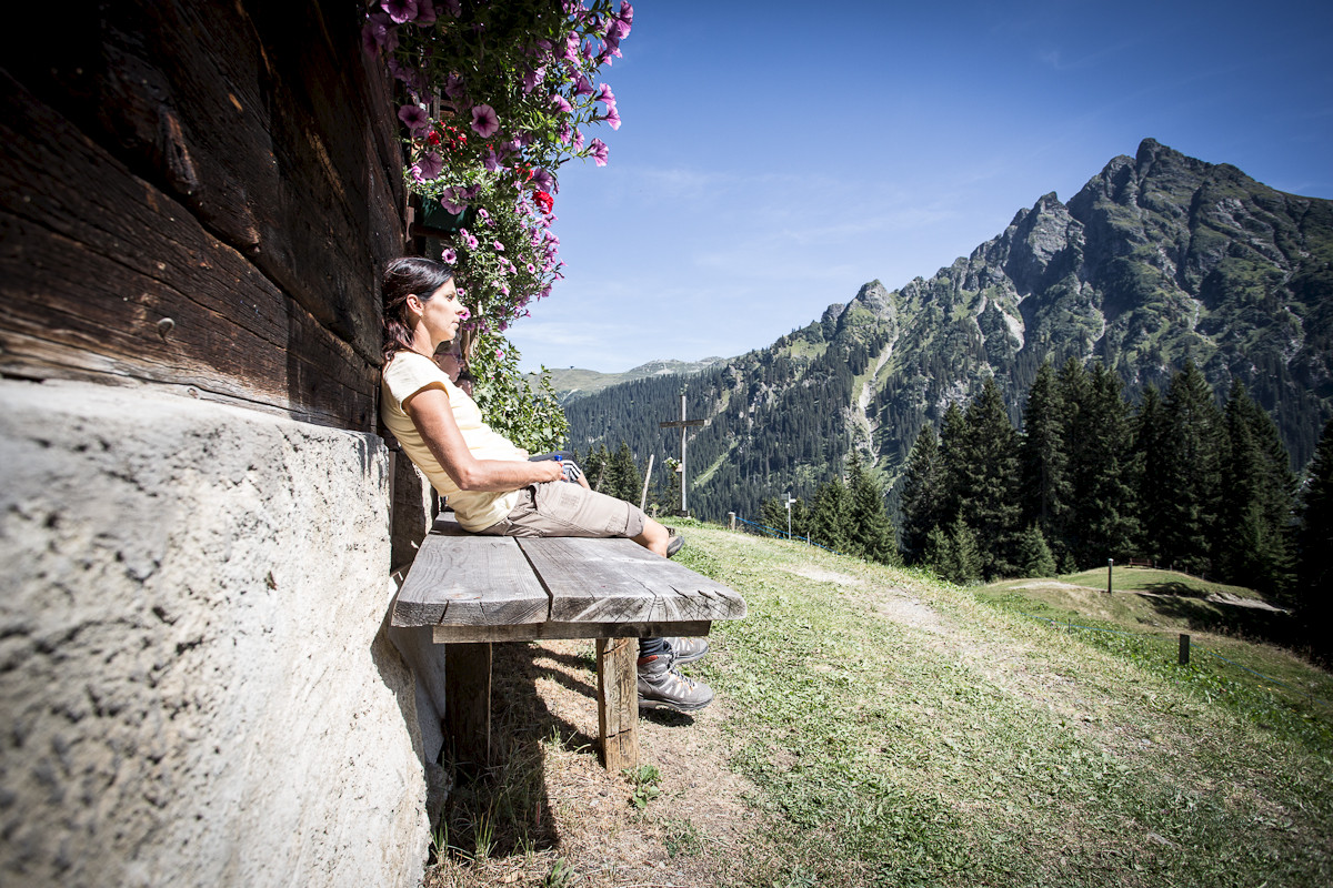
The "Gargellner Windows" were formed by the collision of igneous rock and limestone. As a result, rounded, eroded mountain shapes are found directly next to bizarre peaks. Daphne blooms in the rock crevices, alpine roses grow next to orchids, and swamp flora spreads in small ponds.

The "Gargellner Windows" can be seen near the Rongg waterfall, in the Rongg and Röbibach gorges, and above the house Rüti.

Approach

Take the A14 to the Bludenz/Montafon exit and continue on Montafonerstraße L188 to St. Gallenkirch. There, turn right onto Gargellnerstraße and follow it to Gargellen to the Gargellen mountain railways.

Public transport

Just leave your car parked

The regional buses of the Montafonerbahn run throughout the Montafon. The main lines depart every half hour from Schruns station.

Bus stop for the start/finish of the route: Gargellen Center / Line 670

Timetable: www.vmobil.at

Getting to Montafon by train

From Bludenz station, the Montafonerbahn runs hourly (partly every half hour). There are also direct connections from Lindau (DE) or from Bregenz.

Timetable: www.oebb.at

Parking

Parking (paid) is located at the valley station of the Gargellen mountain railways.

Safety instructions

EMERGENCY CALL: 144
European emergency number: 112
www.vorarlberg.travel/sicherheitstipps

Equipment

Hiking shoes with good tread sole

Destination

Gargellen, Gargellen mountain railways parking lot

Starting Point

Gargellen, Gargellen mountain railways parking lot

Eigenschaften
Routentyp Hiking, Round trip
Schwierigkeit Moderate
Höhenprofil
Beste Jahreszeit
Jan
Feb
Mär
Apr
Mai
Jun
Jul
Aug
Sep
Okt
Nov
Dez