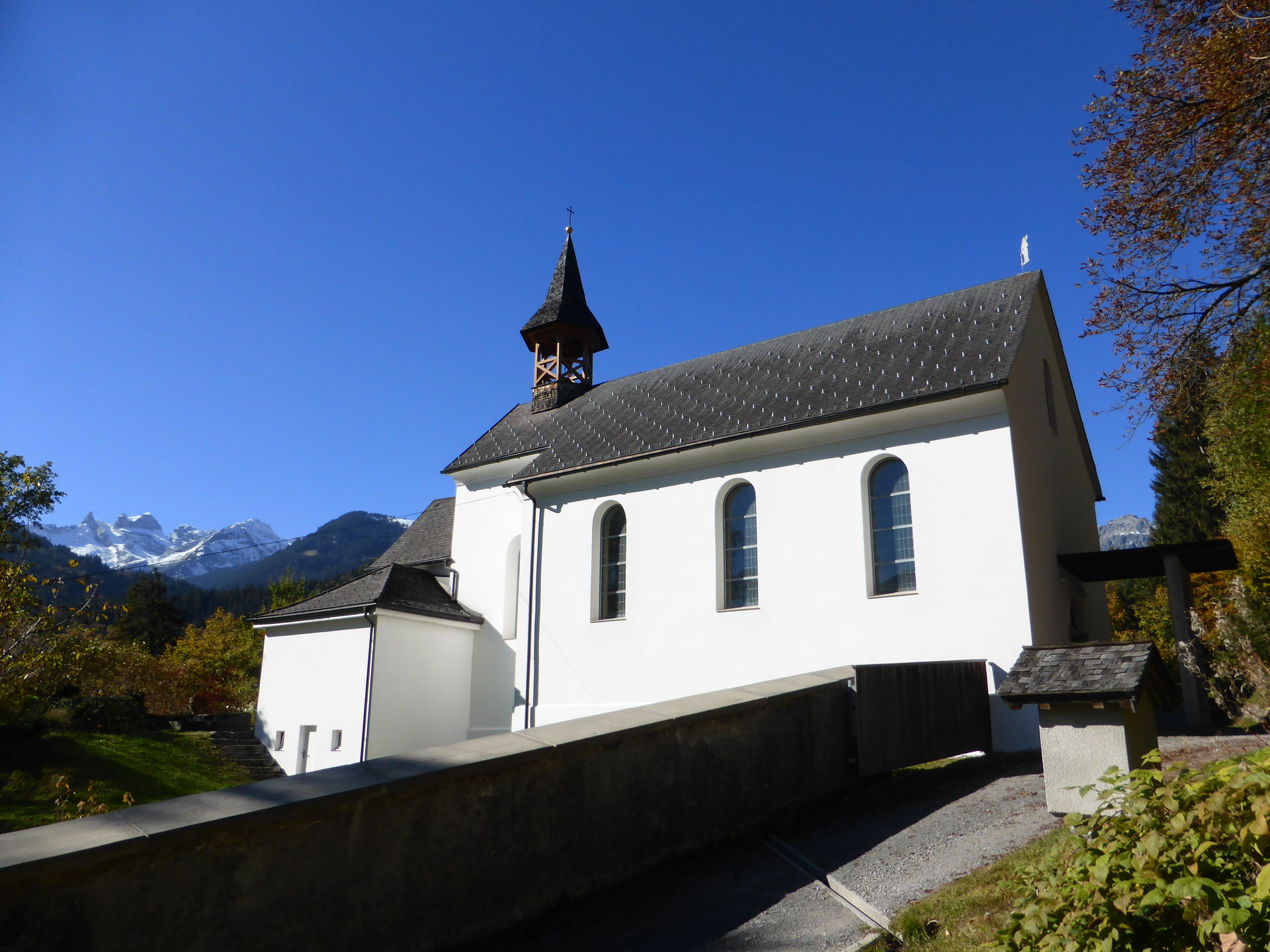
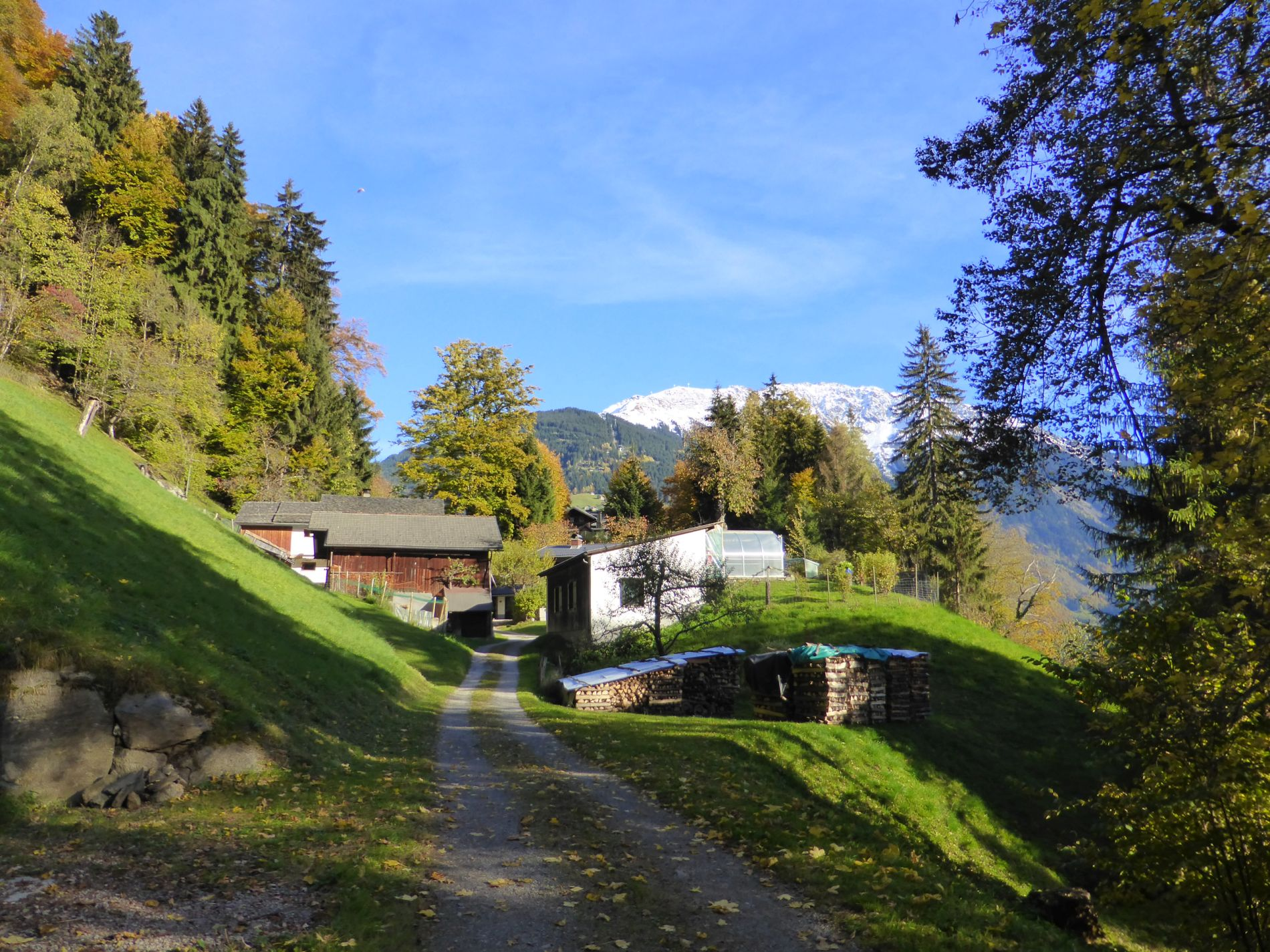
The walk starts in the town center of Schruns. At the parish church St. Jodok, you walk along the pedestrian zone until you reach Silbertalerstrasse. There you cross the street and walk left past the shop Zimba Moden and shortly after cross the bridge and continue straight ahead. You walk past Hotel Krone and reach a small chapel and the junction to Bartholomäberg a few meters later. You follow the street towards Bartholomäberg a little bit. In the slight left curve (stone wall) is already the turnoff to the walking path. According to the signpost, you follow Bergknappenweg and then turn left. It goes somewhat steeply uphill towards Montjola. On the left side, wine is grown, and above the vines is a bench. You are already a bit above Schruns. After about 5 minutes, you reach stairs to climb up. Watch out for traffic, cross Montjolastraße, and opposite continue the walk uphill. After another 5 minutes, you reach the junction “Gauenstein Monastery / Broxweg.” You have reached the first height. From the junction, it goes on an almost flat path towards Gauenstein Monastery. You walk further over the meadow, pass a stable and residential buildings until the path continues in the forest. After a short forest section, you reach a single house with a great location via another meadow path that goes slightly uphill. Next, the path leads briefly downhill, and you pass more residential houses. The forest path then continues flat and after about 5-10 minutes, you reach Gauenstein Monastery.
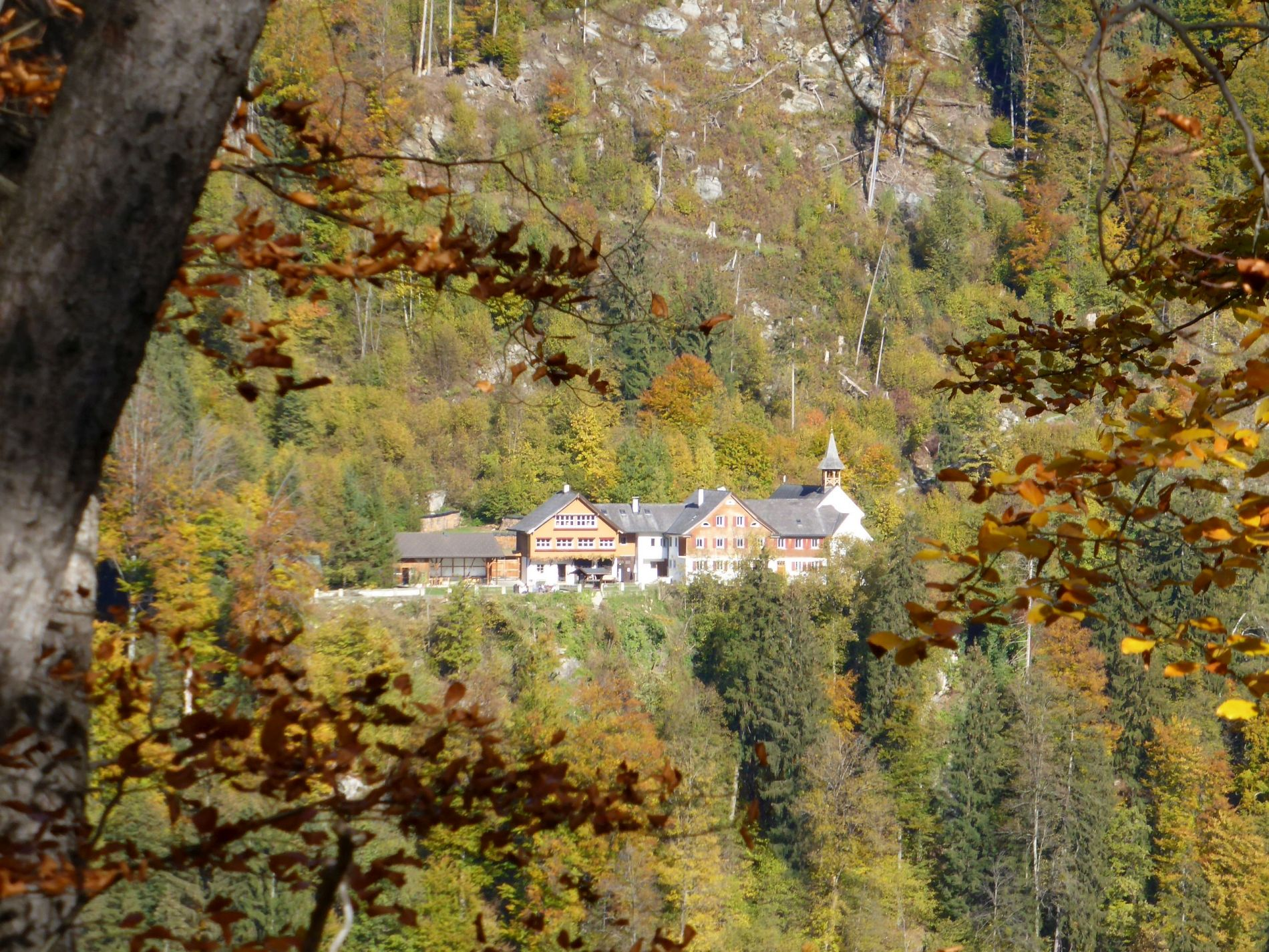
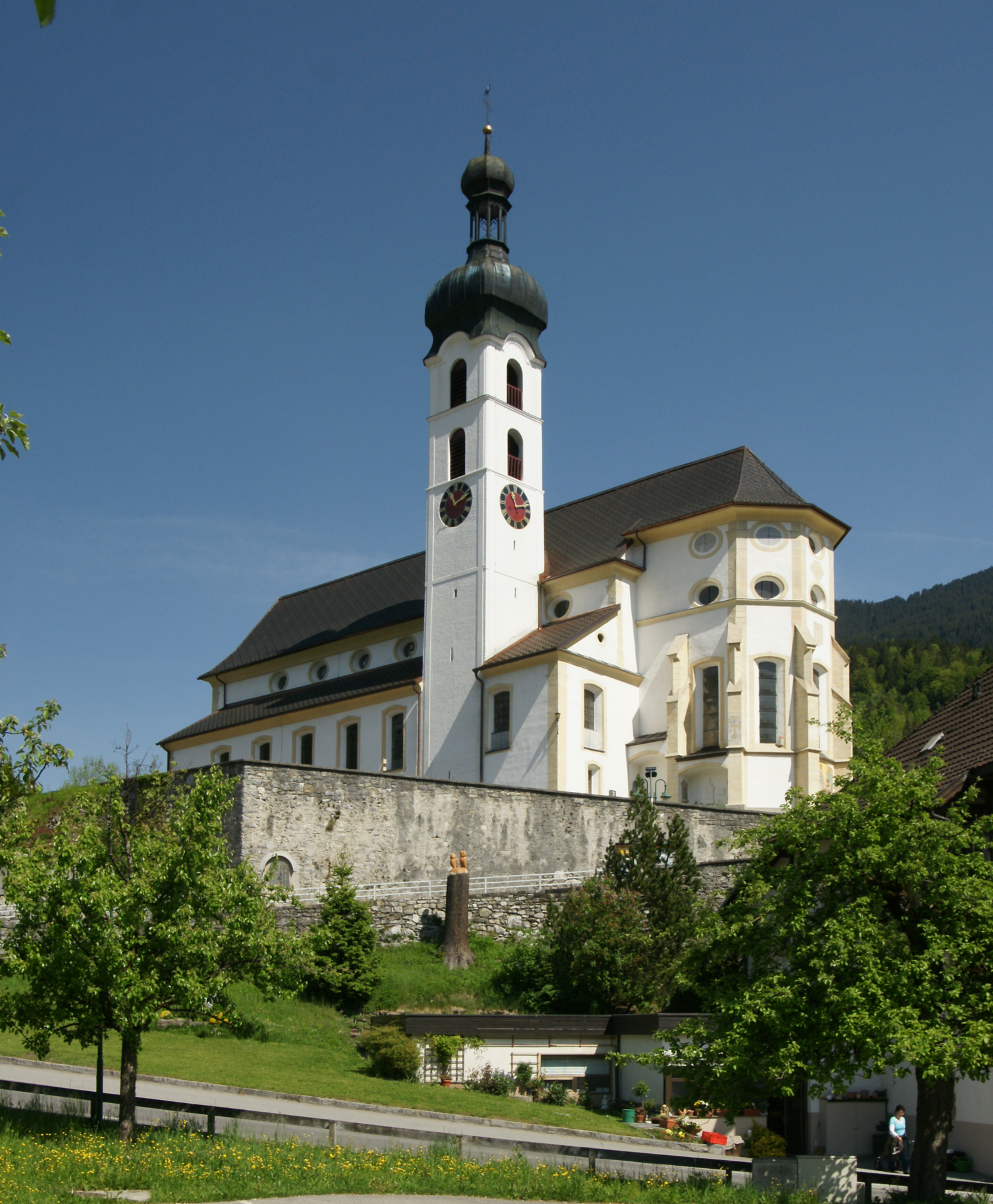
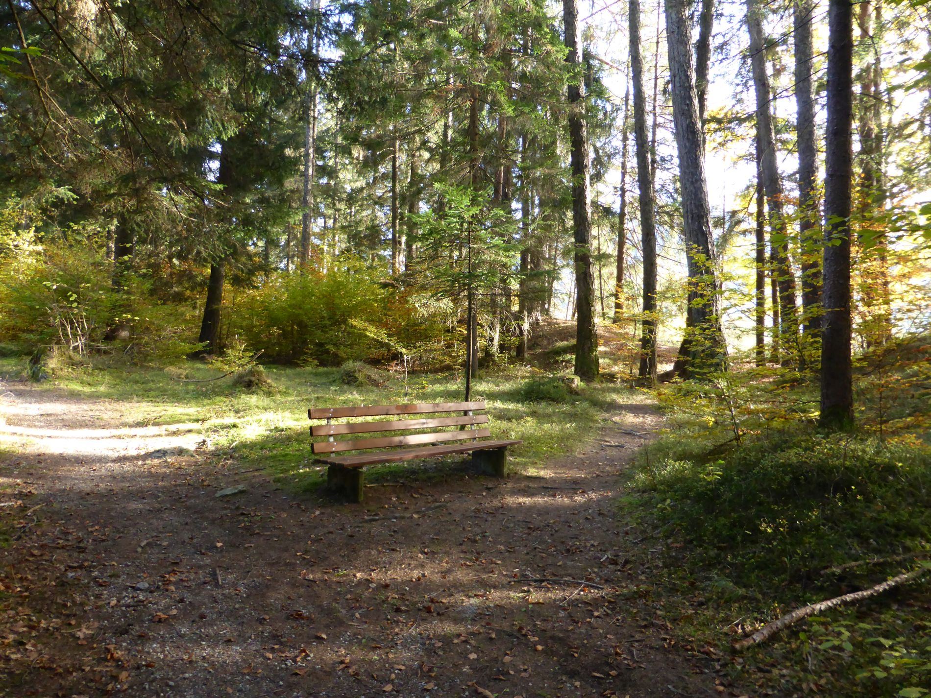
A short visit to the monastery is recommended before you continue your walk. A few meters after the monastery, you reach another signpost, here you keep to the direction of Kaltenbrunnen. Also, Landschrofen-Känzili (about 10 minutes) is already indicated here. A detour to the Landschrofen viewpoint is worthwhile. At the Landschrofen viewpoint, you can enjoy a view towards Schruns-Tschagguns and Vandans. With good visibility, the famous Three Towers in the Rätikon can even be seen. Benches are also available here. After visiting the viewpoint, keep left and continue through the forest, and the descent begins.
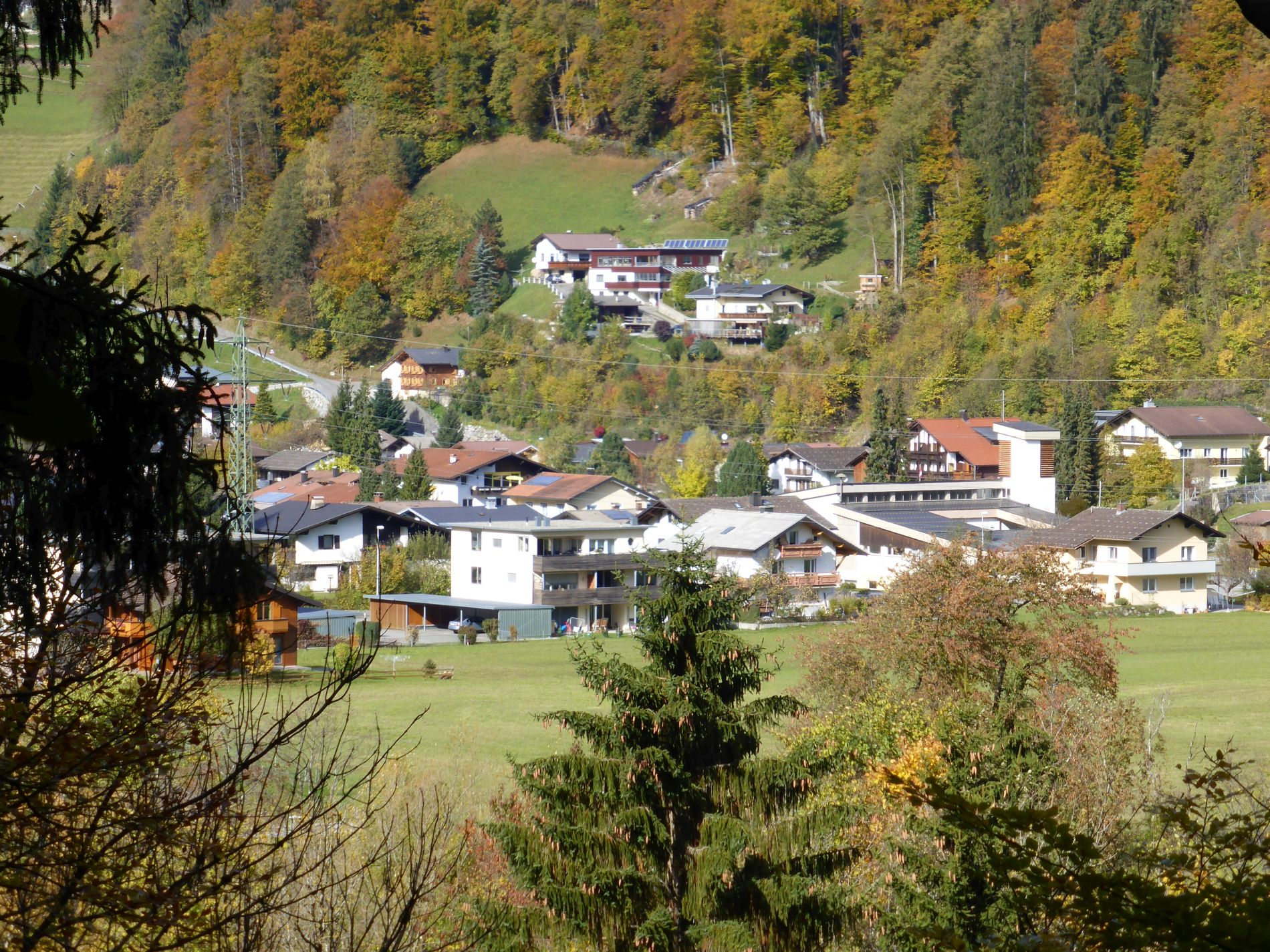
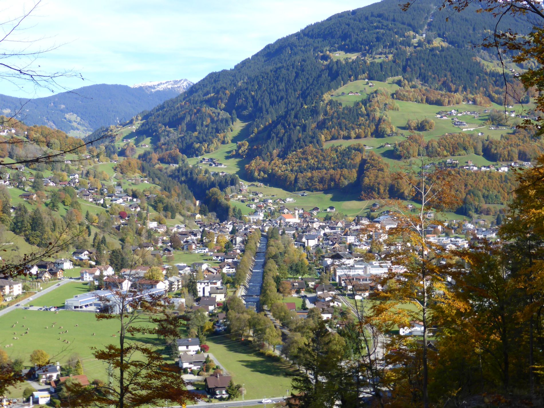
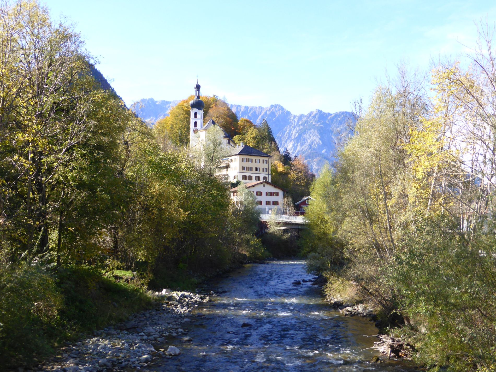
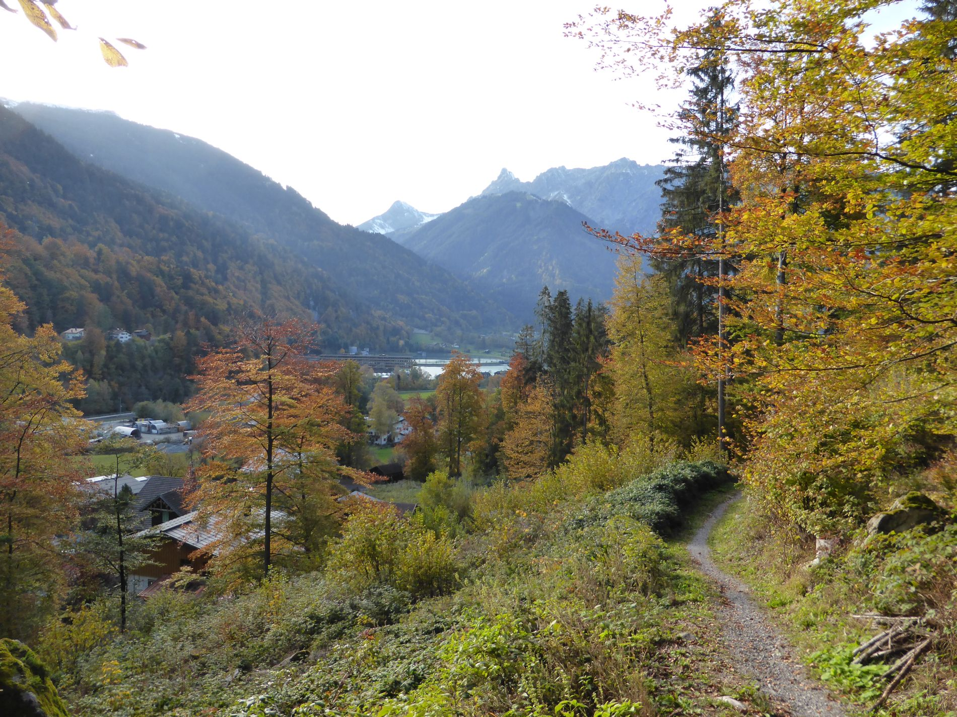
After about 20 minutes, you reach B188 (main road). A few meters toward Gantschier church is the JUFA Montafon on the same side. On the opposite side is the Schapler bakery branch and Liberty snack bar. Cross the street at the zebra crossing and follow the sidewalk according to the signpost to Kaltenbrunnen station. Upon arrival, stay on the sidewalk and cross the bridge. Immediately after the bridge, cross the street to the left, the parking lot, and follow the footpath (shortcut) up to Lower Krista. In zig-zag, you reach the small residential area in about 5-10 minutes. The path leads past the first two houses (house wall and hedge). After the wooden hut, the path ends at the parking lot of the wooden house. Now follow the street straight ahead. In the right curve (wood storage area), turn left into the meadow path and follow the yellow-white marking. Over a meadow and forest path, you reach the Krista area. The walking path ends at another house. On a short asphalt piece, it goes briefly uphill. On the way, you have Hochjoch in front of you and can discover Muttjöchle on Kristberg to the left. The street ends in Krista street; you keep left and reach a large farm of the Mangeng family. You keep left again and follow the road slightly downhill. On the right is a stable building. At the signpost, you turn right and walk past below the stable building. Immediately after, you turn into the path and follow it slightly uphill. With some luck, you accompany chickens, ducks, or sheep (of course behind a fence). A power pole is visible above the path, protruding from the forest. At the top, turn left into the forest. Walk along a wide, flat forest path. On the left, you can see the somewhat elevated Gauenstein Monastery through the leaves of the trees, and a bit further left is the Landschrofen-Känzili viewpoint already visible. Shortly before, you took a break there. A few meters lie practically the Litz promenade at your feet. A fantastic view of Schruns. Shortly after, the wide path slopes gently downhill. You might think the path ends here. A small path branches off straight ahead. The yellow-white marking is a bit hard to see but is applied to a tree on the left. This path is called Kirchenstein. The path leads zig-zag downhill through the forest and then reaches the meadow above the parish church; shortly after, you cross the cemetery. You walk left past the church and shortly after reach the town center of Tschagguns. Diagonally opposite, you see a large building. The building houses the municipal office, Spar grocery store, and Tschagguns tourism office. Above the Spar grocery store are public toilets.
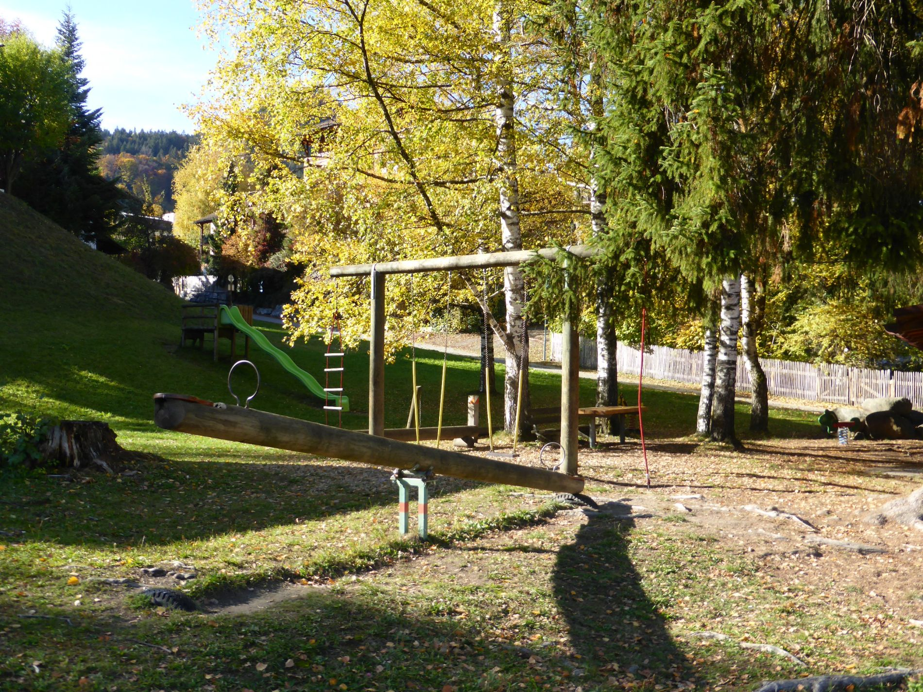
You cross the street and follow Zelfenstraße downstream. After the parking lot on the left (opposite Hotel Cresta), turn left. The path goes downhill. After about 5 minutes, you reach a playground in Tschaggunser Au. Here you can choose whether to walk further downstream left or right along the Ill. According to the drawn route, you cross the bridge and then walk right along the Ill until you reach a large parking lot. Through the underpass, you reach the other side of the street to the football stadium. Pass the football stadium and shortly after turn left into Schrunser Feld. A few meters later, turn left into the footpath into Schruns town center. In about 15-20 minutes, you reach Schruns town center.