Montafon Rätikon route

Difficult
Alpenmosaik - Rätikon
Einkehrmöglichkeit
Mehrtagestour
Long-distance hiking trail · Hiking · Alpine mosaic – Rätikon · Alpine mosaic · Refreshment stops · Multi-day tour
19:10 h duration
44,9 km Länge
2816 m Höchster Punkt
993 m Tiefster Punkt
2305 hm Aufstieg
3216 hm Abstieg
Kondition
Technik
Schwierigkeit
Erlebnis
Landschaft

Tourbeschreibung

The Montafon Rätikon route is a four-stage high mountain route through the full variety of the Rätikon. From the mountain station of the Golmerbahn you ascend to the Golmerjoch and look at the highlights of the habitat: the Drei Türme and the Zimba. It goes through valleys, over summits and across the Lünersee into Switzerland and along steep limestone walls up to the Sulzfluh, before the route returns to Latschau.

Description

A route for mountain enthusiasts who appreciate the natural beauty of the mountains as much as well-prepared regional cuisine. The hiking trails lead through the varied Rätikon. The limestone rock of the Rätikon in contrast to the blooming alpine meadows on the steep walls of the impressive peaks Sulzfluh, Drei Türme and Drusenfluh characterizes this hut hike. Past the Lünersee you can experience hydropower up close, and with an overnight stay in Switzerland, you get to know the Prättigau.

Important: for this demanding route, you should plan your personal daily sections and book the overnight stays in the huts in advance!

Approach

Coming from Bludenz on the B188, you must turn off at the junction on the main road before Schruns towards Tschagguns and drive on to Latschau.

Public transport

Just leave your car standing

The Montafonerbahn regional buses operate throughout Montafon. The main lines run hourly from Schruns station.

From Schruns station you get to the Golmerbahn in Latschau with bus line 601. The stop is: "Latschau Golmerbahn".

For the return journey

You can get back from Latschau to Schruns station with bus line 601.

Bus schedules mbs bus

Arrival by train

From Bludenz station, the Montafonerbahn runs hourly (sometimes every half hour). There are also direct connections from Lindau (D) and Bregenz.

Train schedule mbs train

Parking
Directions

Stage 1: Golmerbahn mountain station to Douglass Hut

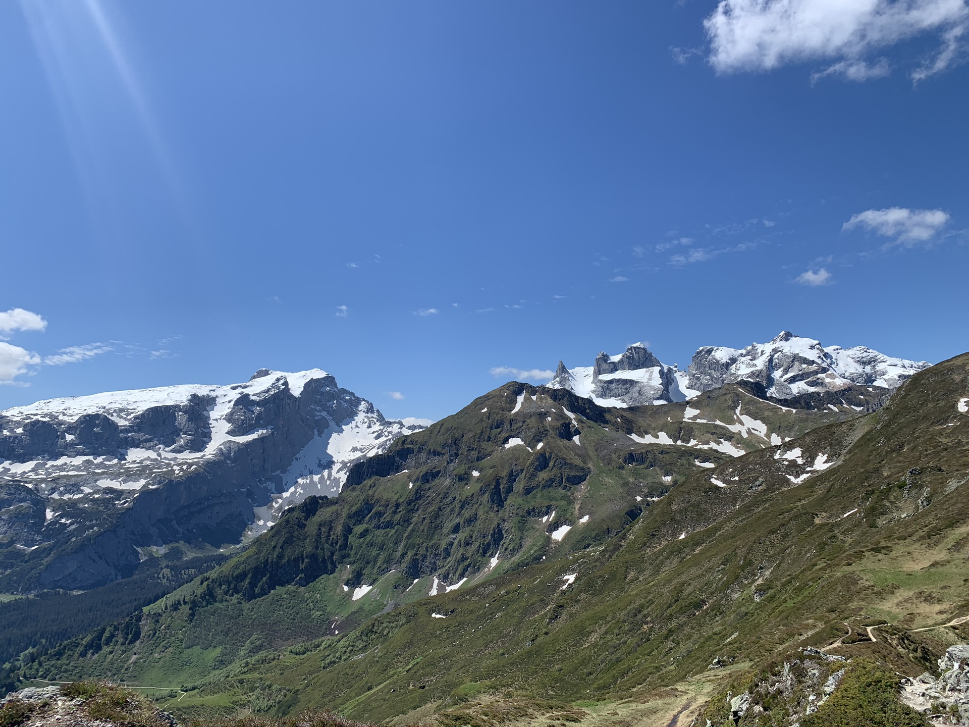
After ascending with the Golmerbahn, the Rätikon route starts at the exit of the cable car and leads you towards the Golmer Kreuzjoch (2,261 m) via the Golmer Joch (2,124 m) and the Latschätzkopf (2,219 m). From the Kreuzjoch, you go down to the Hätaberger Joch (2,154 m) and from there follows a descent to above the upper Zaluand Alp.

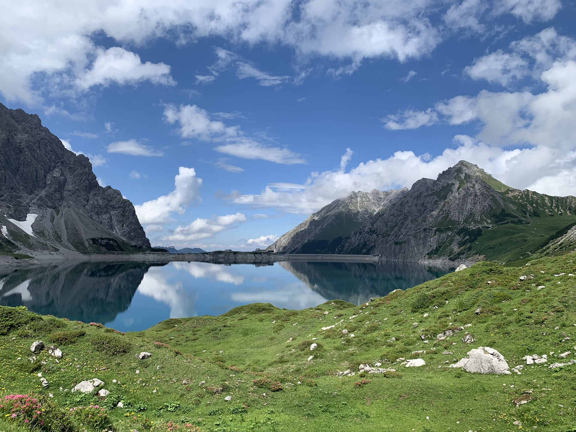
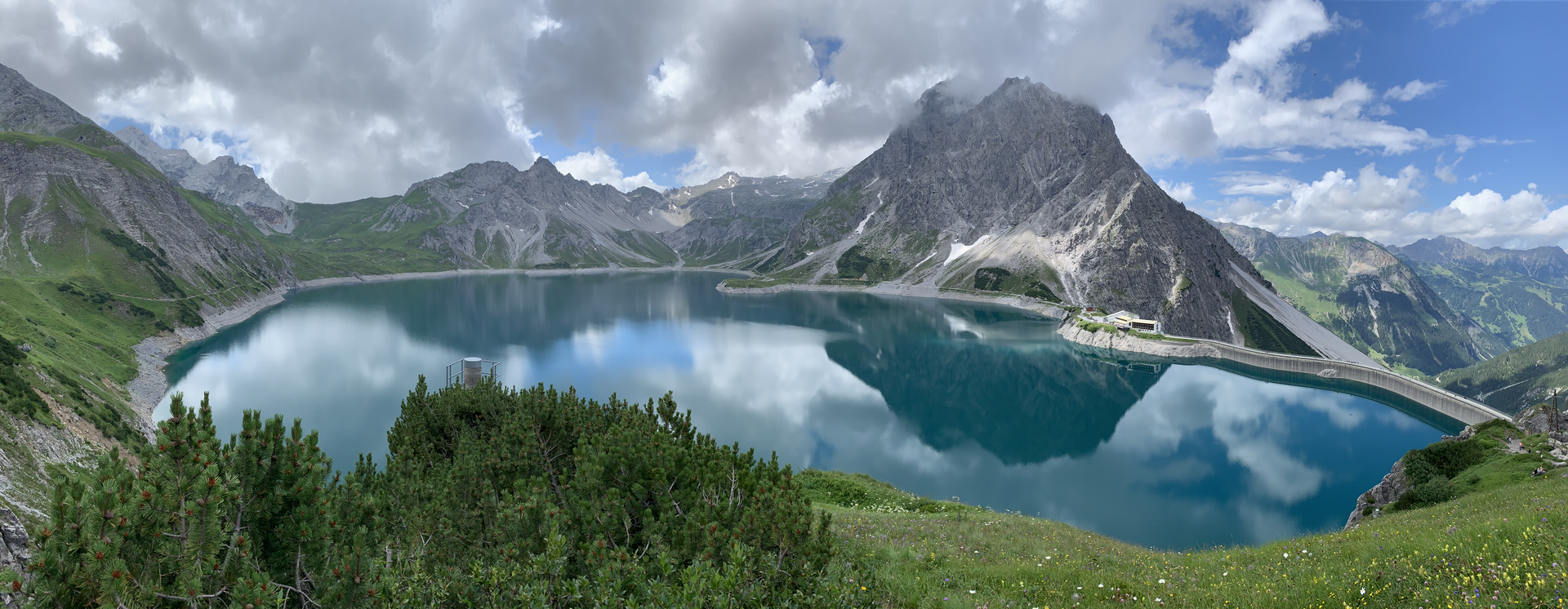
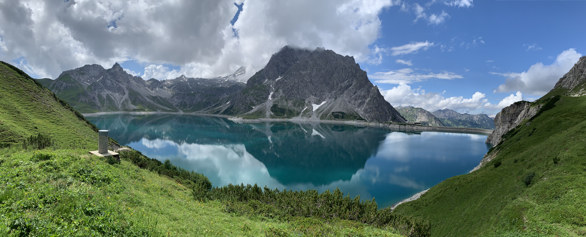
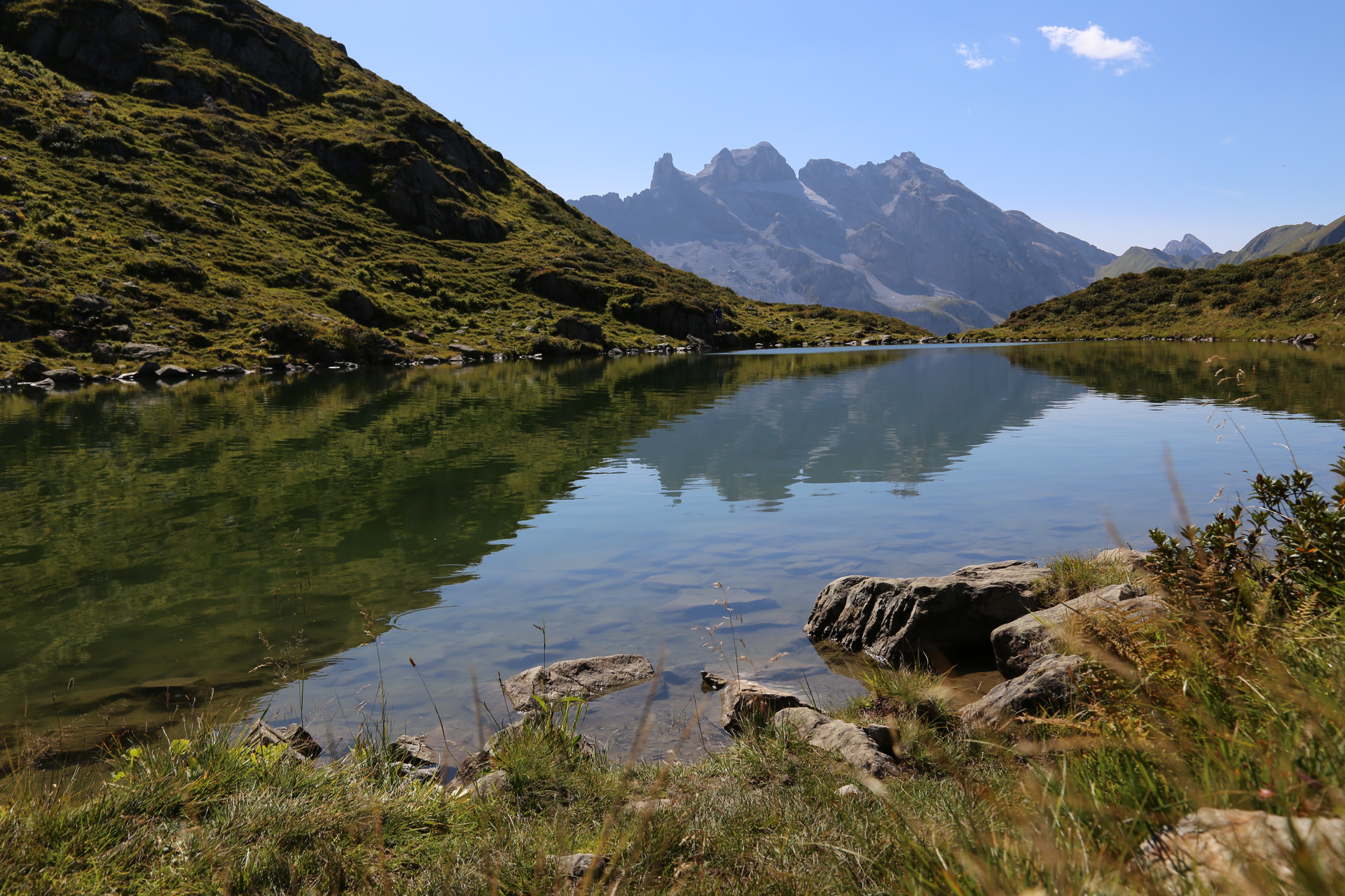
Here the path takes you further to the Schweizer Tor. Past the customs house it goes to the Verajoch and then down to the Lünersee. Just before the Lünersee you come to the Alpe Lünersee and the path goes right around the Lünersee to the Douglass Hut.

Hiking time approx. 6:00 hrs // approx. 13.3 km // ascent 979 m, descent 890 m

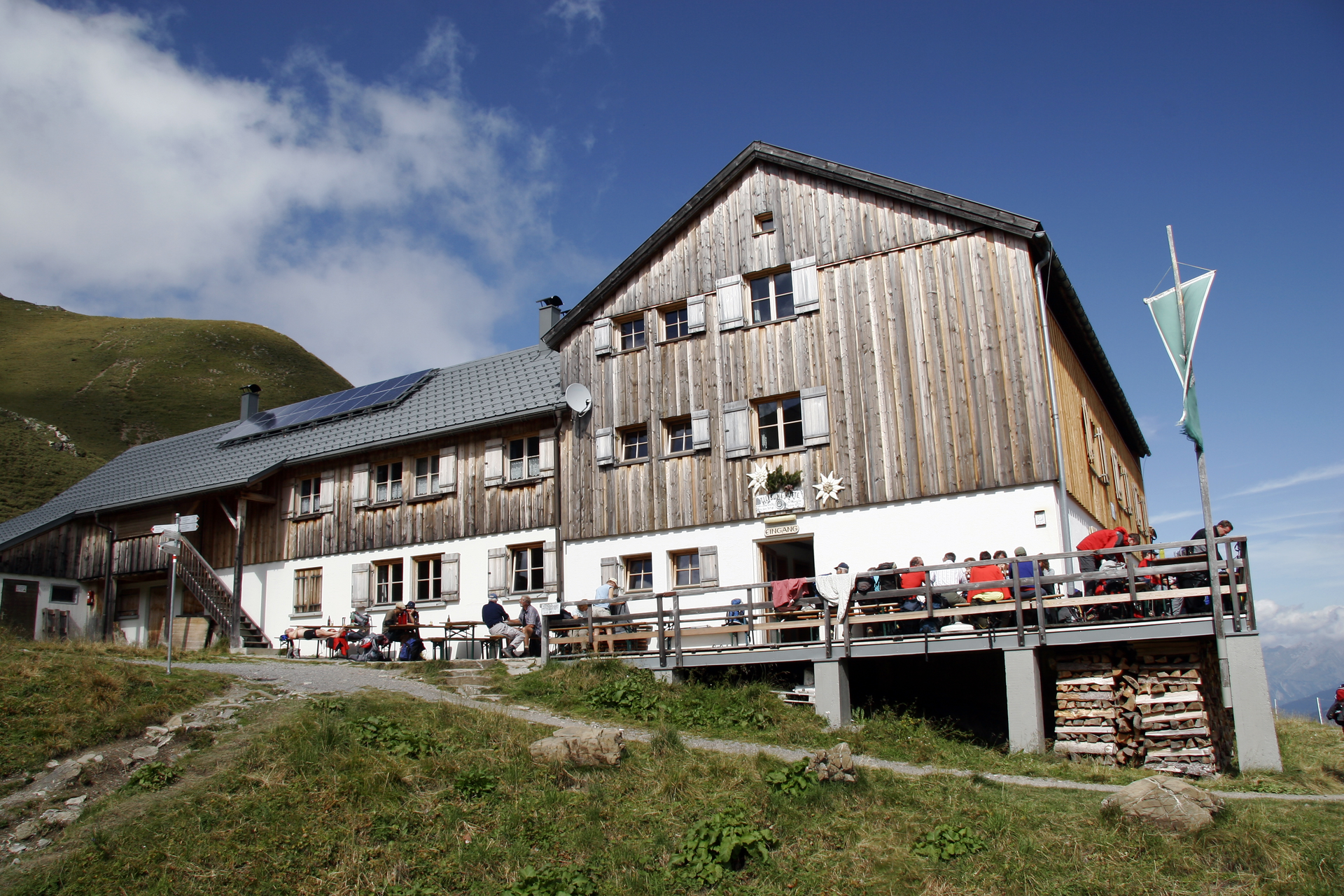
Stage 2: Douglass Hut to Carschina Hut

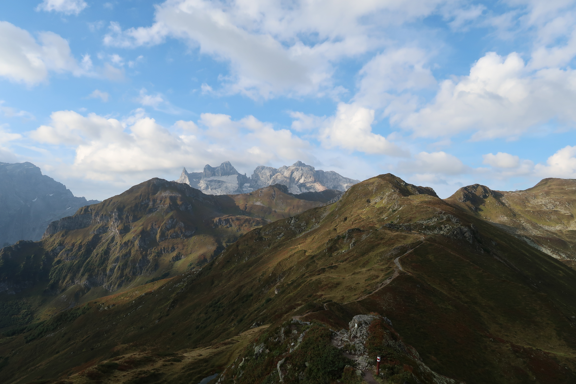
The second stage starts on the dam and you circle the remaining part of the Lünersee. Again past the Alpe Lünersee the path leads you up to the Gafalljoch (2,239 m). Welcome to Switzerland. In the distance you can already see the Carschina Hut from here.

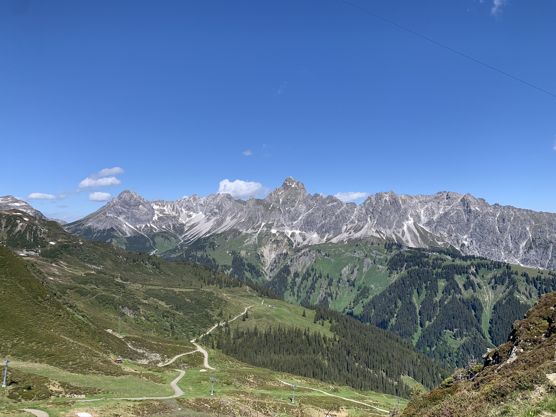
You follow the Prättigau Höhenweg past the Kirchlispitzen past the Schweizer Tor further under the Drei Türme to below the Drusentor. From here it is not far to the Carschina Hut. The Carschina Hut lies directly under the Sulzfluh.

Hiking time approx. 5:20 hrs // approx. 14.6 km // ascent 584 m, descent 348 m

Stage 3: Carschina Hut to Tilisuna Hut

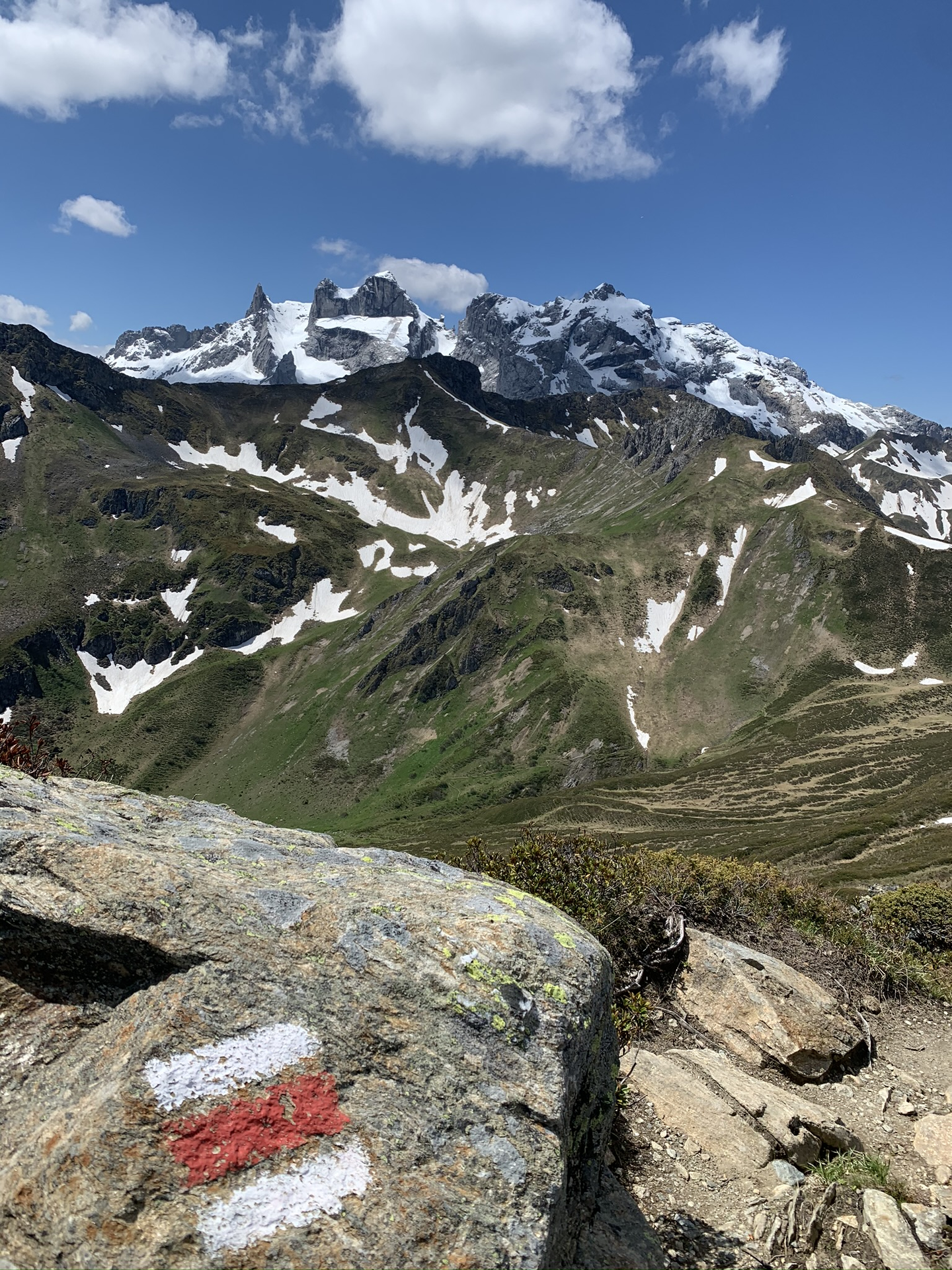
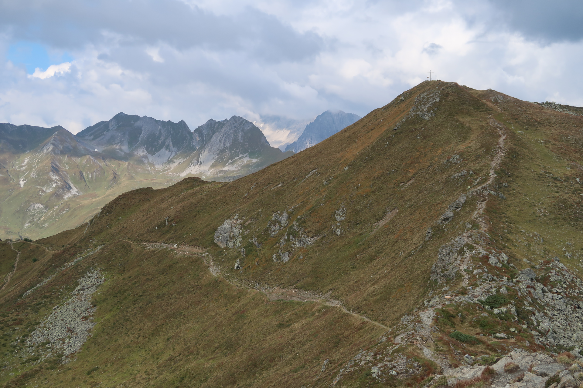
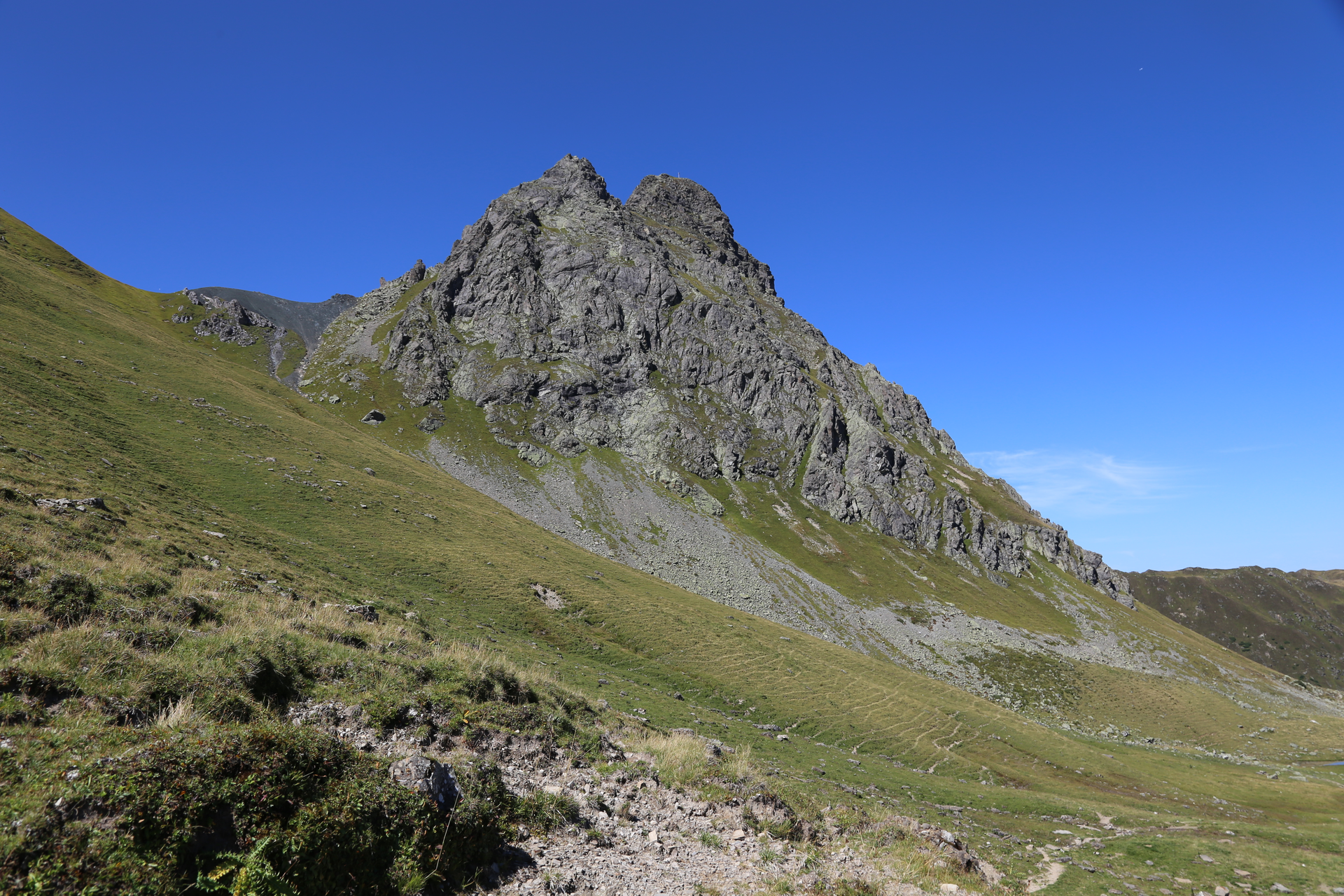
Towards Partnun it continues and you reach the entrance to the Gemschtobel. A very easy climbing section follows, which is secured by a steel chain. Nevertheless, you should bring sure-footedness and a head for heights for this section.

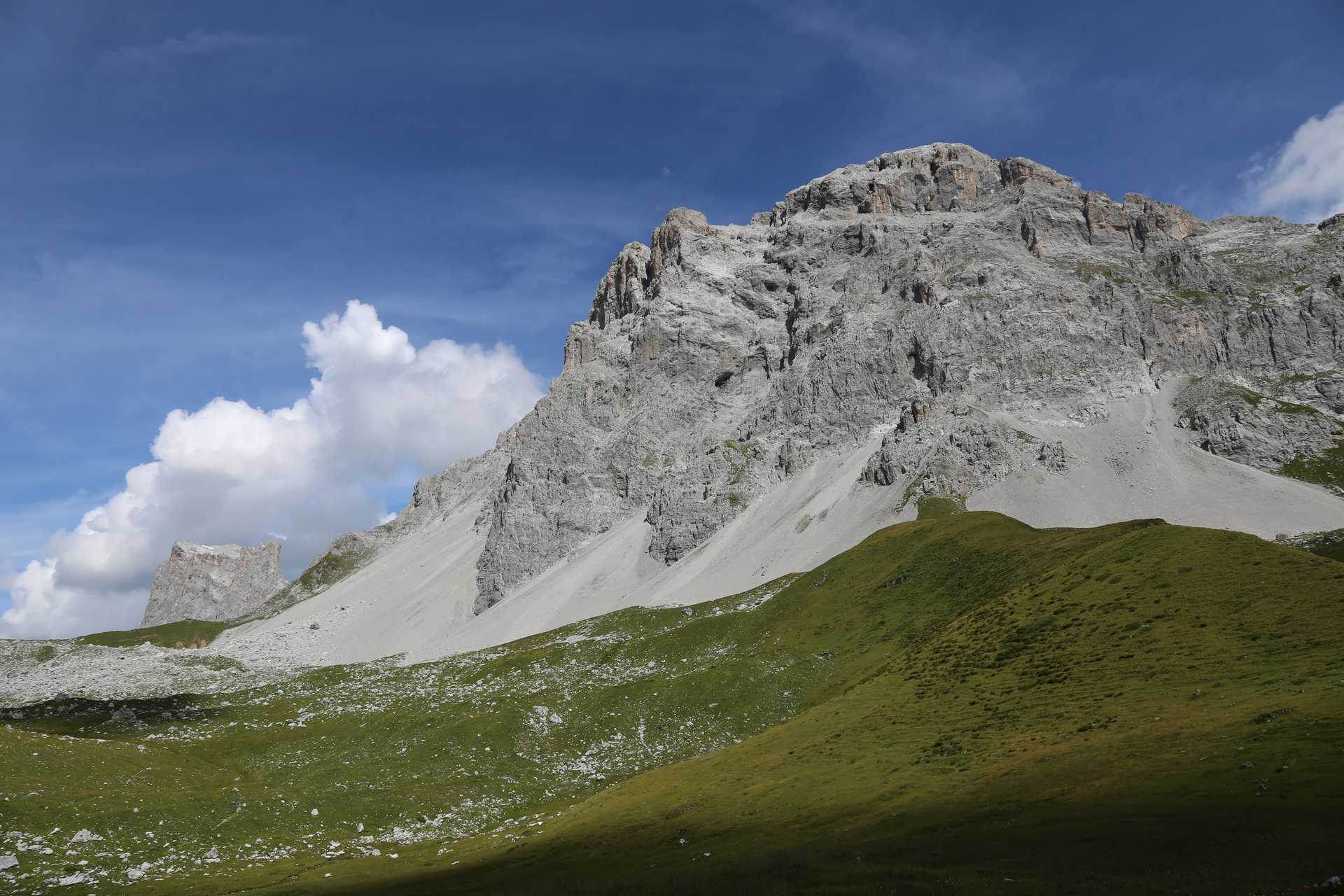
Through the Gemschtobel the ascent to the Sulzfluh takes place. It can get very hot here and you should have enough to drink. Directly below the Sulzfluh you leave the Gemschtobel again and from there it is not far to the summit.

After a short break at the summit the path leads over the white limestone towards Tilisuna Hut.

Hiking time approx. 4:25 hrs // approx. 8.8 km // ascent 664 m, descent 684 m

Stage 4: Tilisuna Hut to Tschagguns/Latschau

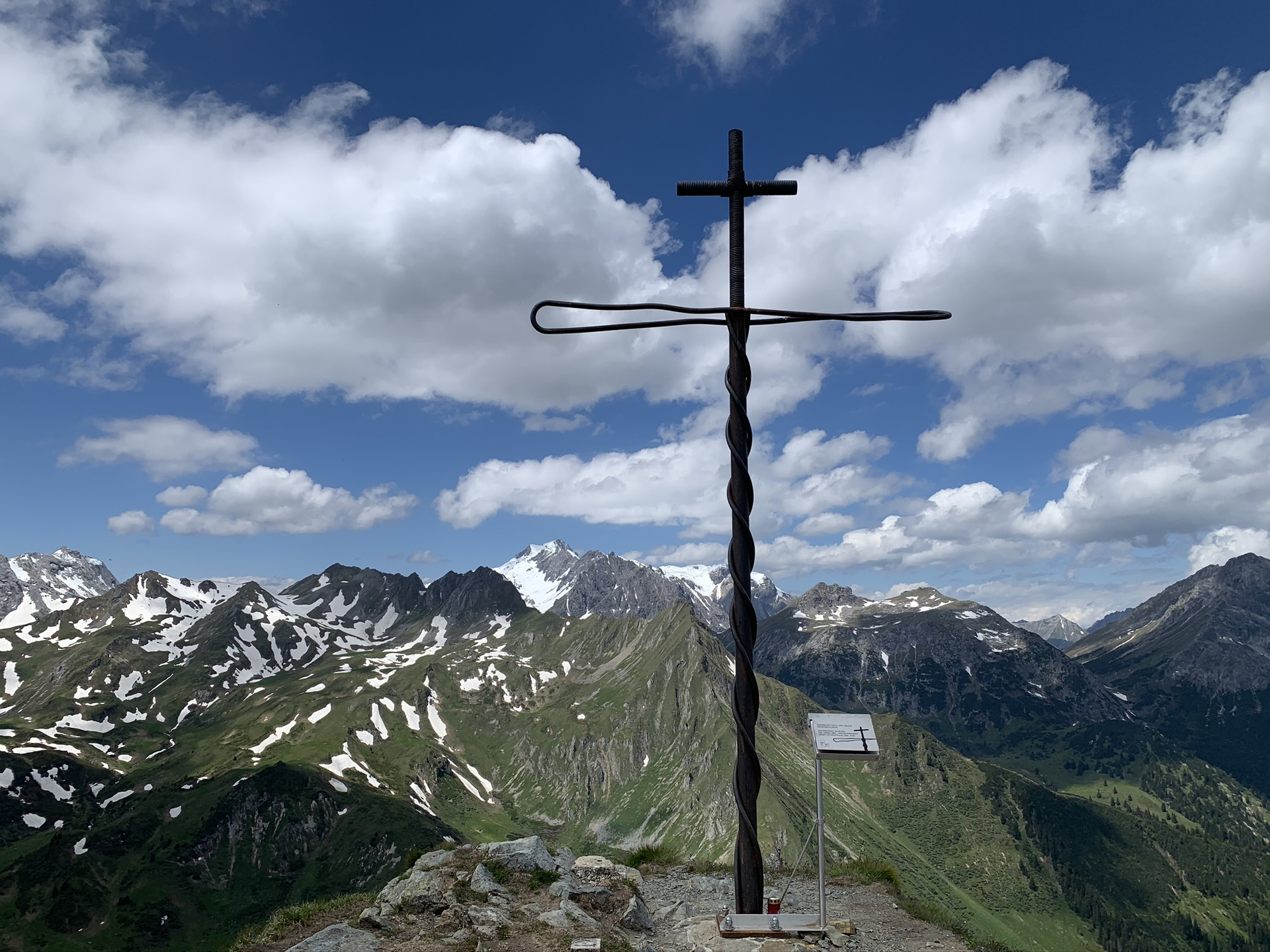
The last stage begins at the Tilisuna Hut and leads past the Tilisuna lake below the Schwarzhorn to the Schwarzhornsattel. From the Schwarzhornsattel it goes steeply downhill to the Tobel lake. The path then leads past the Alpe Alpila over the Vollspora back to Latschau.

Hiking time approx. 3:25 hrs // approx. 8.2 km // ascent 78 m, descent 1,294 m

Safety instructions

EMERGENCY CALL: 144

European emergency number 112 (works with any mobile phone/network)

www.vorarlberg.travel/sicherheitstipps

Equipment

Good ankle-high hiking boots with good tread, sufficient food and drinks, hiking poles recommended

Tips

After a long hike, you enjoy a cool beer best with the breathtaking sunset at the Carschina Hut.

Destination

Latschau

Starting Point

Golmerbahn mountain station

Eigenschaften
Routentyp Long-distance hiking trail, Hiking, Alpine mosaic – Rätikon, Alpine mosaic, Refreshment stops, Multi-day tour
Schwierigkeit Difficult
Höhenprofil
Beste Jahreszeit
Jan
Feb
Mär
Apr
Mai
Jun
Jul
Aug
Sep
Okt
Nov
Dez