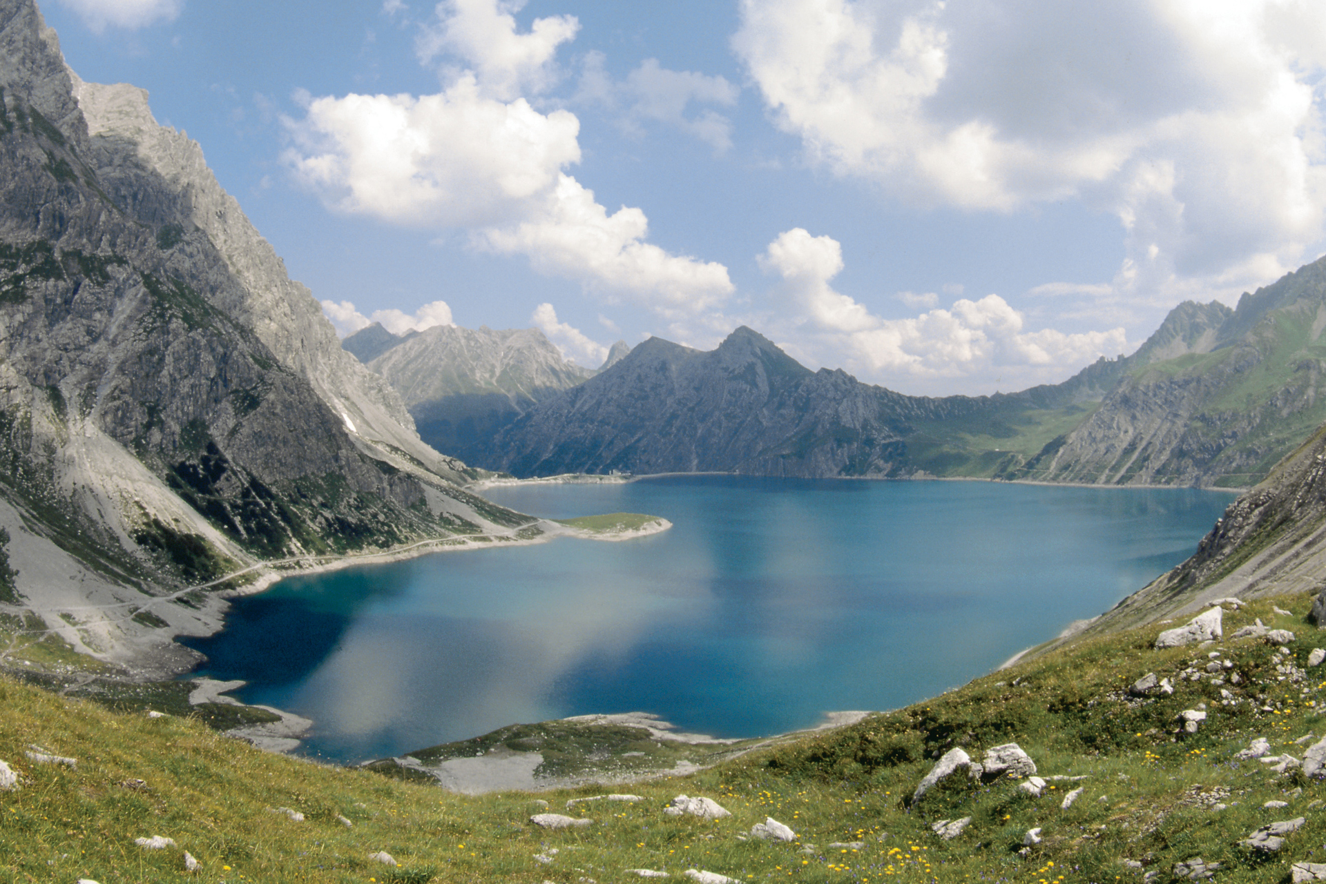
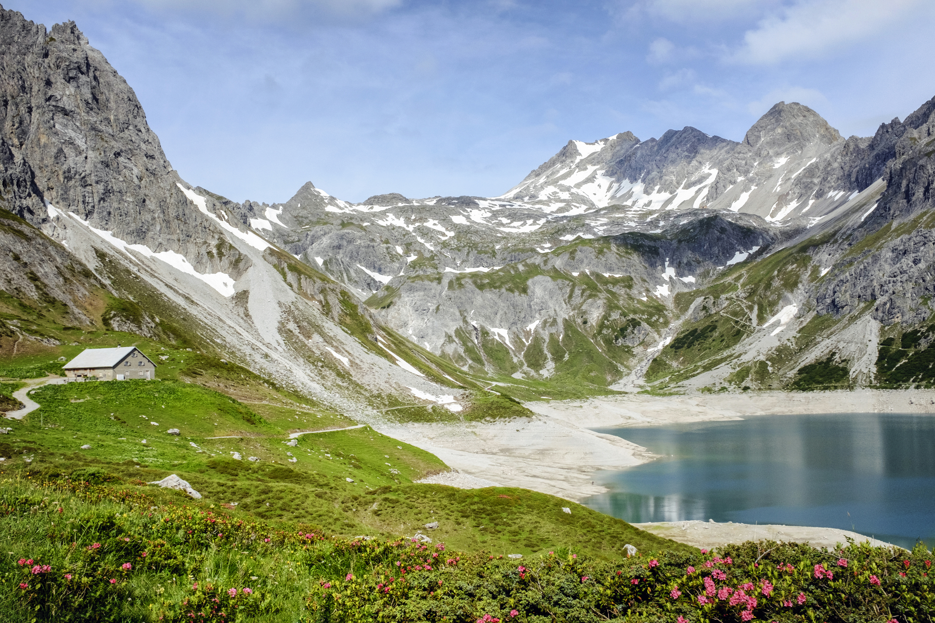
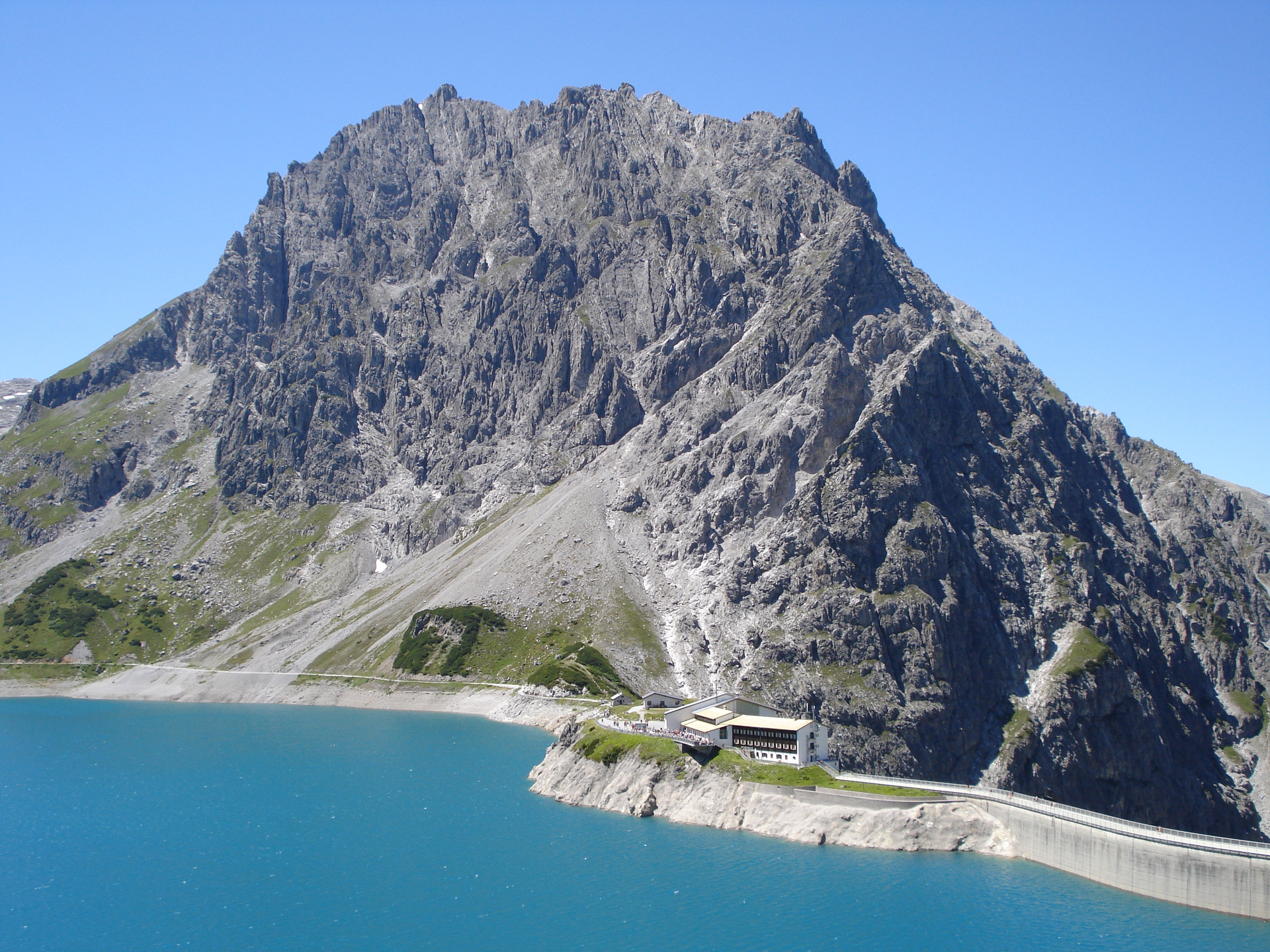
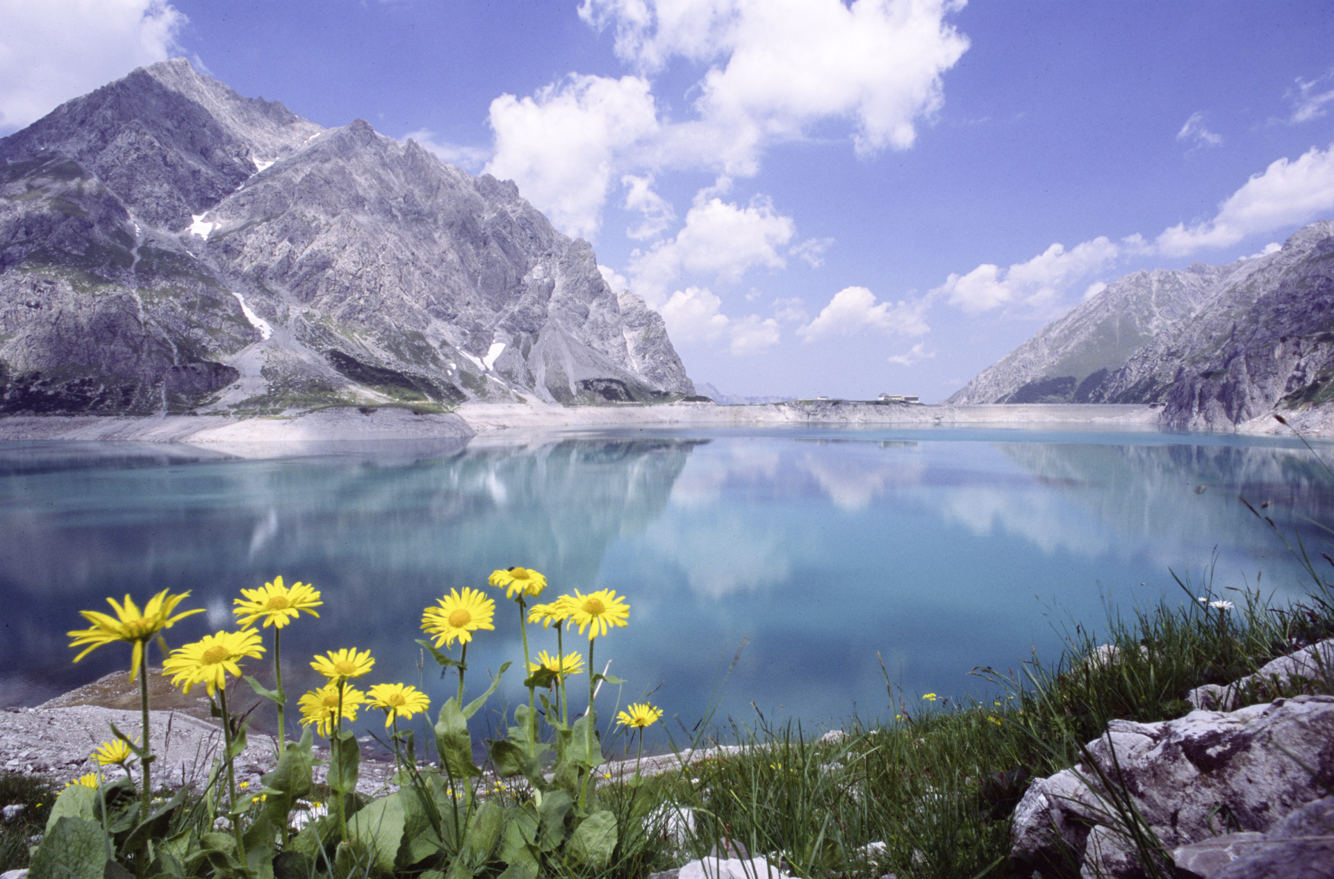
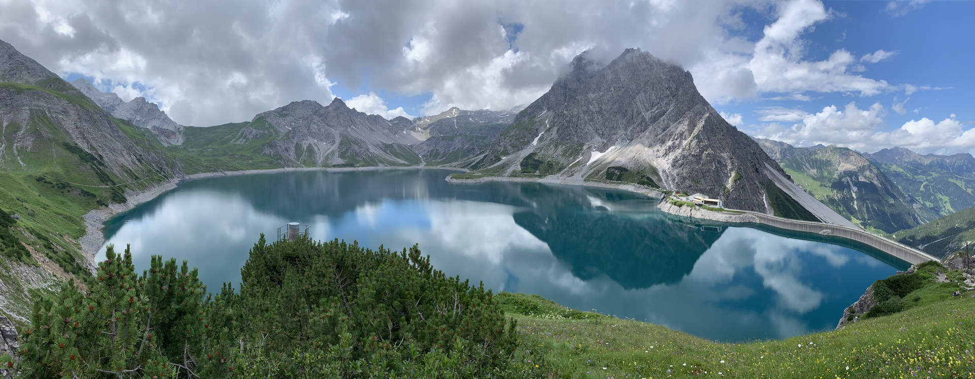
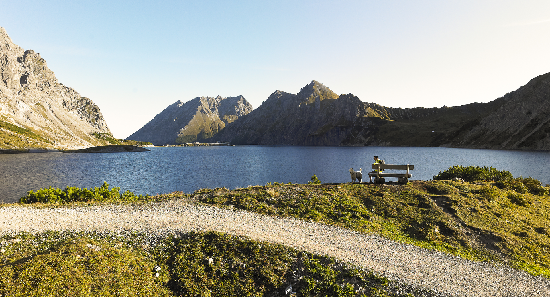
Lünersee circular route

Moderate
Alpenmosaik - Rätikon
Einkehrmöglichkeit
Familienfreundlich
Rundtour
Themenweg · Hiking · Alpine mosaic – Rätikon · Alpine mosaic · Refreshment stops · Round trip · Family-friendly
02:00 h duration
6,09 km Länge
2072 m Höchster Punkt
1966 m Tiefster Punkt
103 hm Aufstieg
103 hm Abstieg
Kondition
Schwierigkeit
Erlebnis
Landschaft

Tourbeschreibung

The path takes you to another world: a turquoise pearl at 1,600 meters above sea level surrounded by the high peaks of the Rätikon – here everyday life is quickly forgotten. The themed path is dedicated to the intense turquoise color of the lake. From the mountain station of the Lünerseebahn, it goes once around the lake and back to the mountain railway. Depending on the time of day, sun and shade alternate.
Description

The Lünersee is located at 1,970 meters above sea level and is considered the turquoise-blue jewel of the Rätikon. It used to be the largest natural mountain lake in the Eastern Alps but is now one of the largest reservoirs in western Austria. In 1959, the capacity was increased by an impressive dam. Although the lake is at the end of the Brandertal, it belongs to the municipality of Vandans in the Montafon. Because the alpine pastures by the lake have always been used by farmers from Montafon.

In 2019, the Lünersee won the show "9 Places - 9 Treasures" and was thus named the most beautiful place in Austria.

Approach

Drive on the A14 to the Brandnertal motorway exit and continue on the L82 to Brand into the valley basin (end of the valley) to the valley station of the Lünerseebahn.

Public transport

Just leave your car behind

The regional buses of the Montafonerbahn operate throughout the Montafon. The main lines run every half hour from Schruns station.

Bus stop for the start/finish of the route: Brand Lünerseebahn / S4 (Montafonerbahn), line 81

Timetable: www.vmobil.at

Arrival by train to Montafon

From Bludenz station, the Montafonerbahn runs hourly (partly every half hour). There are also direct connections from Lindau (D) and from Bregenz.

Timetable: www.oebb.at

Parking

Paid parking lots are located at the valley station of the Lünerseebahn

Directions

From the mountain station, it goes once around the Lünersee. The hike around the Lünersee starts from the Douglass Hut. The path leads right along the shore towards Schesaplana to the Lünersee Alp. From the Alp, it continues until you go up to the viewing platform. Then back down to the dam and to the Douglass Hut.

A walk around the Lünersee takes about 2.5 hours and is therefore especially recommended for families with children. The Lünersee is the largest natural alpine lake in the Eastern Alps. Children and families discover the alpine flora in the plant protection area around the "Pearl of the Rätikon" during the hike and enjoy the unique panorama. With a bit of luck and patience, small and large hikers can see chamois, ibex, or marmots.

Safety instructions

EMERGENCY CALL: 144

European Emergency Number 112 (works with any mobile phone/network)
www.vorarlberg.travel/sicherheitstipps

Equipment

good, ankle-high hiking boots with a good tread, hiking backpack including provisions and drinks as well as sun and rain protection, hiking poles recommended

Tips

On the sunny lake terrace of the Douglass Hut right by the turquoise-blue "jewel" of the Rätikon, you can fully enjoy the surrounding mountain scenery.

Destination

Brand, mountain station Lünerseebahn

Starting Point

Brand, mountain station Lünerseebahn

Eigenschaften
Routentyp Themenweg, Hiking, Alpine mosaic – Rätikon, Alpine mosaic, Refreshment stops, Round trip, Family-friendly
Schwierigkeit Moderate
Höhenprofil
Beste Jahreszeit
Jan
Feb
Mär
Apr
Mai
Jun
Jul
Aug
Sep
Okt
Nov
Dez