Settlement History Route

Moderate
Alpenmosaik - Verwall
Einkehrmöglichkeit
Rundtour
Themenweg · Hiking · Alpine mosaic – Verwall · Alpine mosaic · Refreshment stops · Round trip
02:30 h duration
7,06 km Länge
1495 m Höchster Punkt
1086 m Tiefster Punkt
449 hm Aufstieg
449 hm Abstieg
Kondition
Technik
Schwierigkeit
Erlebnis
Landschaft

Tourbeschreibung

The Settlement History Route shows what made Montafon so attractive to the first settlers. The challenging local circuit runs above Bartholomäberg, partly along the original mountain miners' path to the visitor mine and then back over meadows and pastures. Throughout the tour, the view of the Rätikon with its distinctive peaks accompanies you almost the entire way.

Description

On this circular route on Montafon's sunny balcony, starting at the Baroque Church Bartholomäberg, you move directly in fantastic scenery. But also the view that opens up almost throughout the entire tour couldn’t be more beautiful. On the opposite valley side rises the magnificent Rätikon. With the well-known peaks of the Drei Türme, Sulzfluh, and Drusenfluh, you have perfect photo subjects. The proud Zimba watches over you from the Vandanser Steinwand. The path leads you up to the historic mine. From there, you return down to the Baroque Church in Bartholomäberg.

Approach

On the A14 take the Bludenz/Montafon motorway exit and follow the L188 into Montafon. At St. Anton, turn left (right at the train station) and follow the route to Bartholomäberg.

Public transport

Just leave your car behind

The regional buses run throughout Montafon. The main lines run every half hour from Schruns train station.

Bus stop at start/finish of the route: Bartholomäberg Church / Line 640

Timetable: www.vmobil.at

Arrival by train to Montafon

From Bludenz train station, the Montafonerbahn runs hourly (sometimes every half hour). There are also direct connections from Lindau (D) and Bregenz.

Timetable: www.oebb.at

Parking

There is parking directly at the Baroque Church Bartholomäberg.

Directions

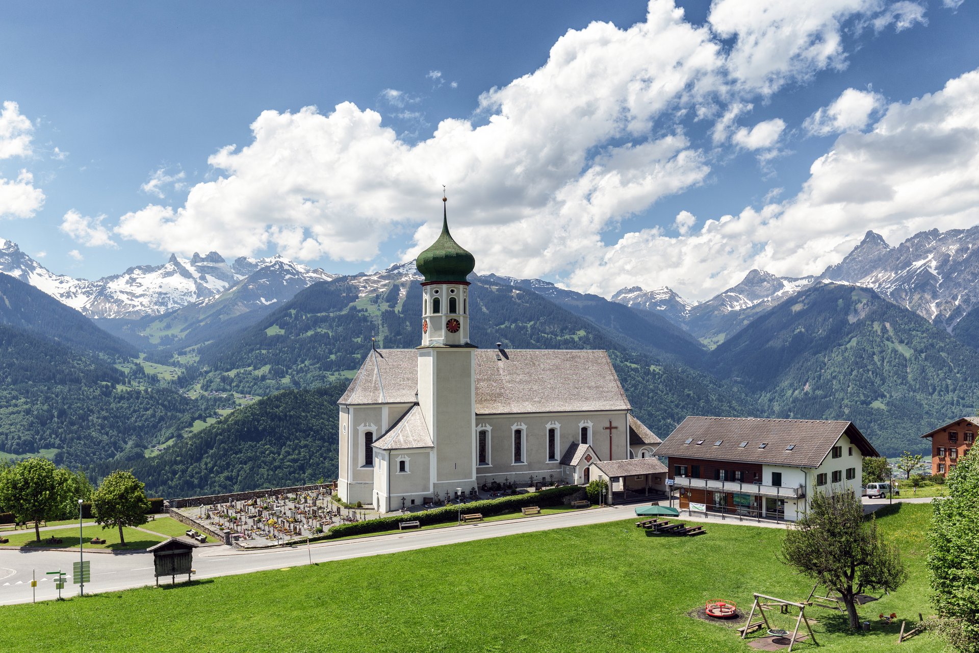
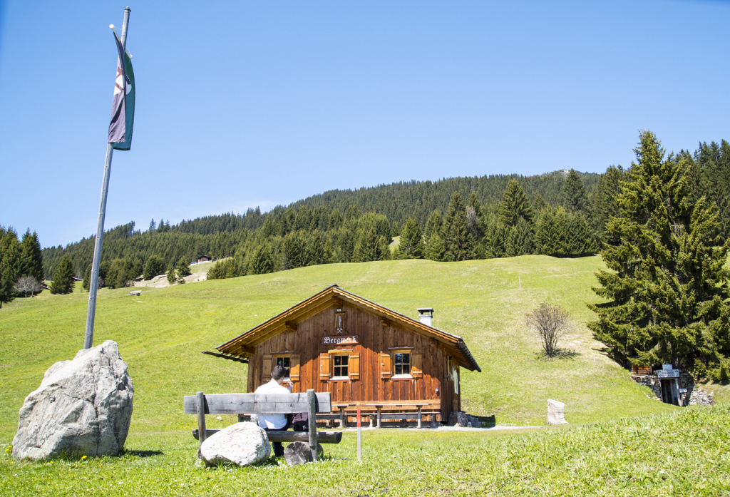
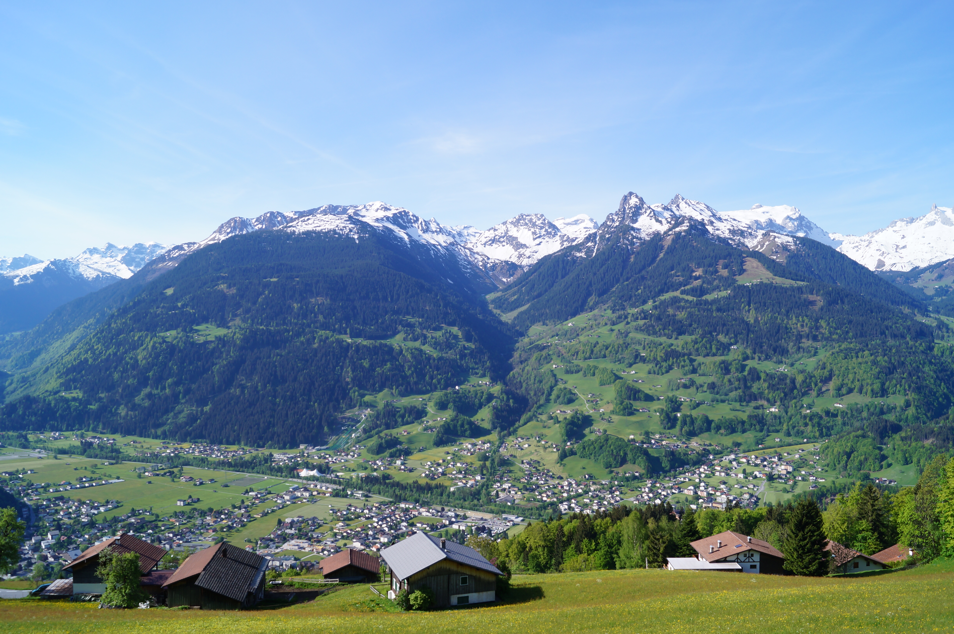
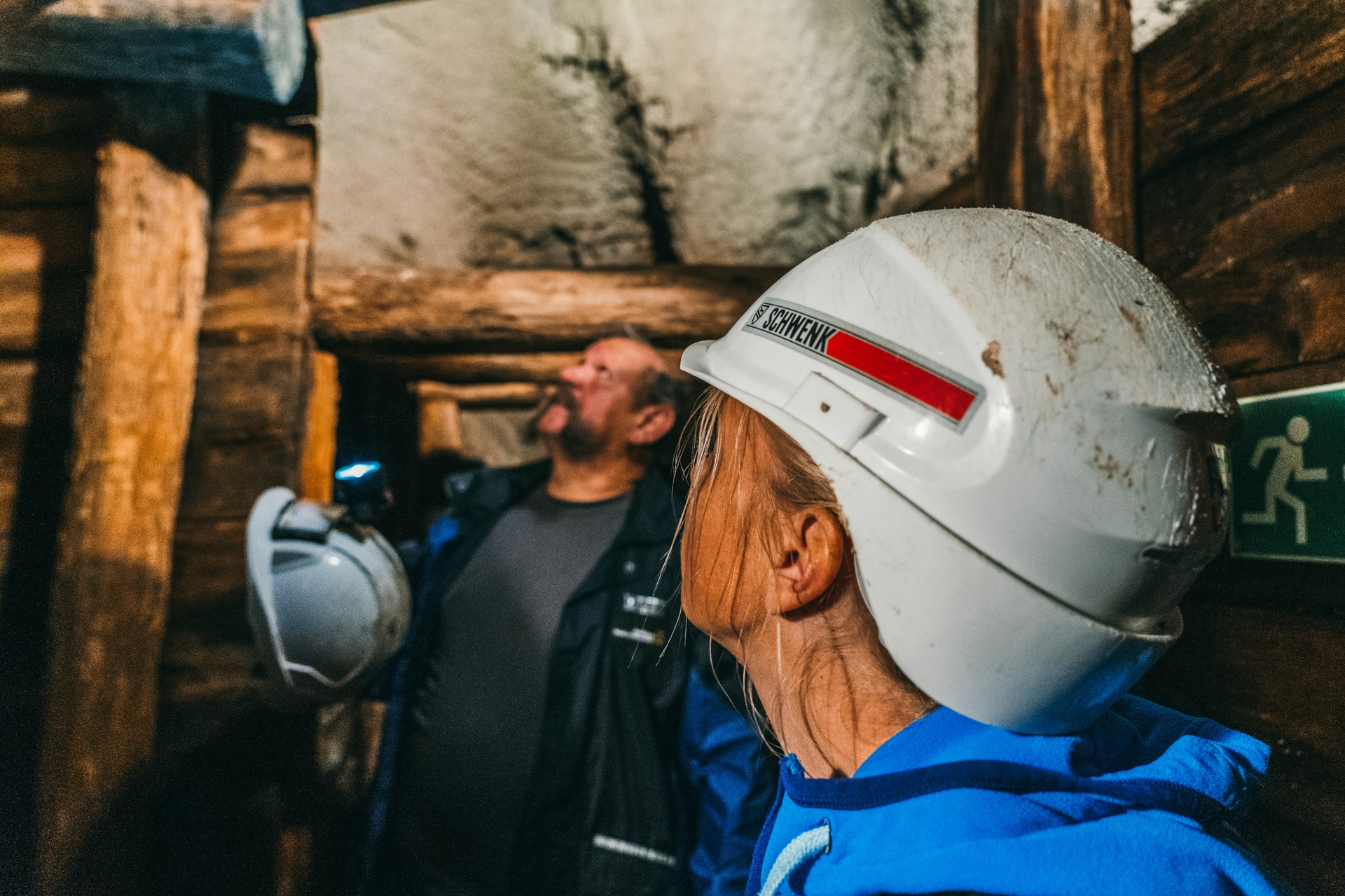
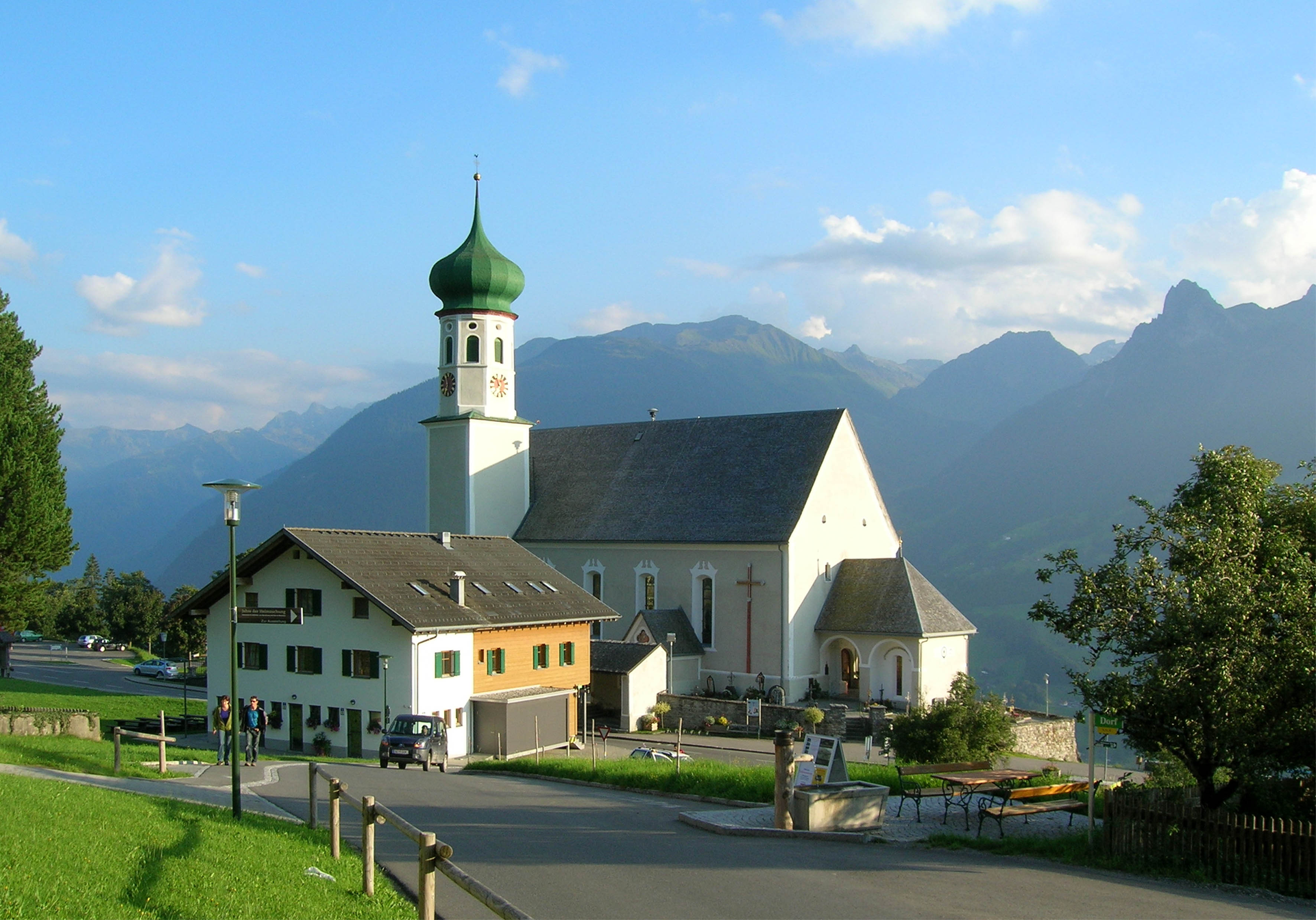
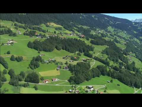
From the start of the route at the Baroque Church in Bartholomäberg, you head uphill past the Bärger Lädili. Follow the road up via the Lindaweg. After the Lindaweg makes a sharp S-curve, leave it at the second curve onto an unpaved path. Continue over "Neyers-Legi" to Rellseck, where at the chapel you have a wonderful view of the valley and mountains. Passing the alpine inn Rellseck, you walk back along the road towards Bartholomäberg. In the "Goritschang" area, the path on the left leads you to the Fritzensee. At the beginning of this natural lake, you turn right downhill to the historic mine at 1337 m above sea level. From here, follow the trail downhill. Cross the Roferweg and briefly follow a paved section. At the end of this short stretch, you return to a path that takes you further downhill. Shortly after, you reach the Obwaldweg. Follow this about one hundred meters downhill, then turn right again onto a path that leads you further into the valley. Finally, you reach the Roferweg. Follow it downhill back to the Baroque Church Bartholomäberg, your starting point.

Safety instructions

EMERGENCY CALL: 144

European emergency number 112 (works with any mobile phone/network)

www.vorarlberg.travel/sicherheitstipps

Equipment

Active hiking map

Weather-appropriate clothing

Sturdy footwear with good tread

Enough to drink, a snack if needed

Tips

Dive into the historic mine, into a mysterious world of mountain miners

Destination

Bartholomäberg, Baroque Church

Starting Point

Bartholomäberg, Baroque Church

Eigenschaften
Routentyp Themenweg, Hiking, Alpine mosaic – Verwall, Alpine mosaic, Refreshment stops, Round trip
Schwierigkeit Moderate
Höhenprofil
Beste Jahreszeit
Jan
Feb
Mär
Apr
Mai
Jun
Jul
Aug
Sep
Okt
Nov
Dez