Smuggler route ​(​2 days​)​ ​-​ In the footsteps of muleteers and smugglers

Moderate
Einkehrmöglichkeit
Familienfreundlich
Rundtour
Hiking · Refreshment stops · Round trip · Family-friendly
07:47 h duration
21,7 km Länge
2603 m Höchster Punkt
1428 m Tiefster Punkt
1079 hm Aufstieg
1780 hm Abstieg
Kondition
Schwierigkeit
Erlebnis
Landschaft

Tourbeschreibung

Day 1: Mountain restaurant Schafberg Hüsli - Gafierjöchle - Gafierplatten - Rätschenjoch - Chüecalanda - Obersäss - Untersäss - Mountain station Madrisa cable car (approx. 4-5 hours)

Day 2: Mountain station Madrisa cable car - Schlappiner Joch - Valzifenztal - Madrisa hut - Valley station Gargellen mountain lifts (approx. 4-5 hours)

Description

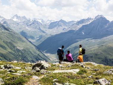
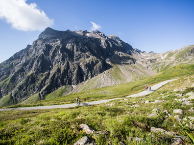
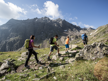
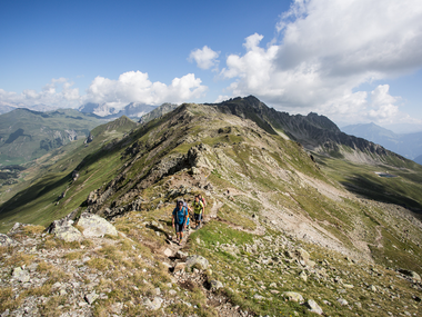
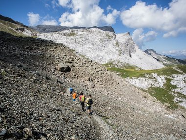
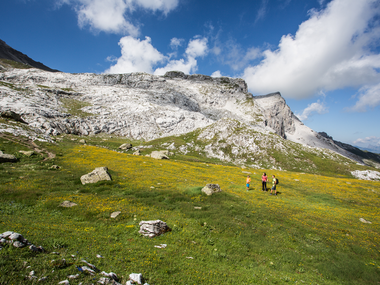
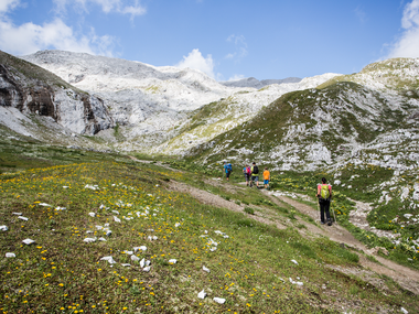
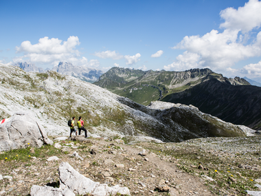
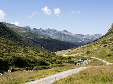
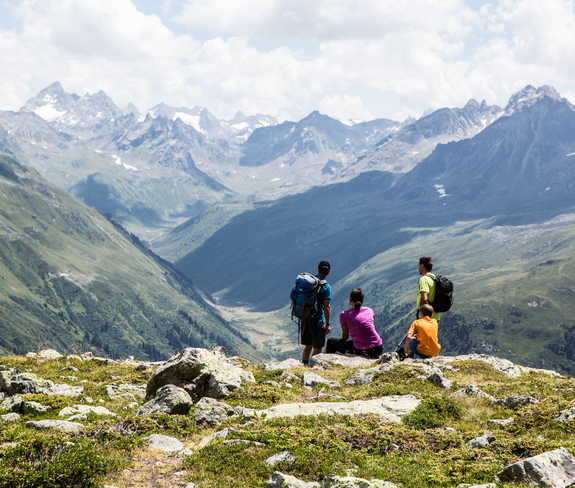
In wonderful scenery, you can explore the world of smugglers and muleteers. The two-day mountain hike around the Madrisa is an exciting journey of discovery on both sides of the Swiss-Austrian border. The route follows historic trails at altitudes between 1,900 and 2,600 m. A GPS device accompanies you and reveals the secrets of smugglers and the hiding places of the so-called "coffee holes." For centuries, lively trade developed between the valleys of Montafon and Prättigau. This trade became illegal across the state border. Today, the path across the border is freely accessible and offers unique natural experiences and exciting stories.

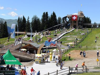
In Madrisa Land at the mountain station of the Madrisa cable car (CH), children can play, have fun, and marvel. There is a legend park with a giant slide, flying fox (zipline), climbing wall, petting zoo, pony rides, and much more available.

All information about the bookable package can be found at www.schmugglertour.com

Approach

Take the A14 to the Bludenz/Montafon exit and continue on Montafonerstraße L188 to Schruns. There, turn right into Gargellnerstraße and follow it up to Gargellen.

Public transport

Just leave your car parked

The regional buses run throughout Montafon. The main lines depart every half hour from Schruns station.

Bus stop at start/finish of the route: Gargellen Schafbergbahn / Line 601

Timetable: www.vmobil.at

Arrival by train to Montafon

From Bludenz station, the Montafonerbahn runs hourly (partly every half hour). There are also direct connections from Lindau (D) and Bregenz.

Timetable: www.oebb.at

Parking

Parking lot Gargellen mountain lifts (paid)

Note: For multi-day tours, a confirmation is issued at the Gargellen tourist office and this must be clearly displayed in the car (windshield).

Directions

Day 1:

The first altitude meters are covered with the Gargellner mountain lifts. The start of the route is at the mountain restaurant Schafberg Hüsli at the mountain station. From here, you follow the signs to the Gafierjoch (approx. 1 hour). The hike leads below the via ferrata VAUDE Gargellner Köpfe, past the Schafbergsee (reservoir pond), until you reach the Gafierjoch after about half an hour and cross the border into Switzerland for the first time.

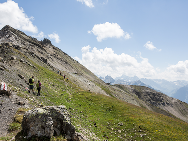
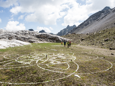
At the Gafierjoch, first keep to the right and then descend a short, steep section before the ascent towards Rätschenjoch begins. From the Gafierjoch, you reach the Rätschenjoch in about 1.5 hours. The highest point of the route is reached at Rätschenjoch, where you can enjoy views of the Bernina Group, the Rätikon, and the Silvretta. Next, you reach the high valley of Chüecalanda and, over the green ridges of Glatteggen, you reach Obersäss. In Obersäss, you find a scenic rest spot.

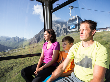
You continue descending and reach Untersäss and then the mountain station of the Madrisa cable car at Saaser Alp. During the overnight stay, you exchange exciting stories with other hikers over a hearty smuggler’s meal. In the mountain dormitory, you find rest at night.

Day 2:

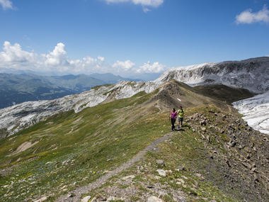
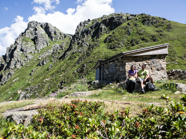
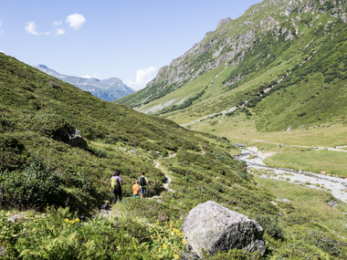
From Saaser Alp, you effortlessly hike on a scenic ridge trail over Zügenhüttli to Älpli and over Schwarz Bach to Schlappiner Joch. In about 2 hours, you reach Schlappiner Joch and then cross the national border. A steep descent begins, and you pass a customs hut and descend further into the Valzifenztal. At the upper Valzifenz alp, you walk along a wide path through the Valzifenztal and reach the lower Valzifenz alp after 20 minutes. Shortly afterwards, you reach the Madrisa hut. From there, you can switch to the other side of the river. Alongside the rushing Valzifenzbach, you hike back to Gargellen.

Safety instructions

EMERGENCY CALL:
140 Alpine emergencies nationwide Austria
144 Alpine emergencies Vorarlberg
112 European emergency number
www.vorarlberg.travel/sicherheitstipps

Equipment

ankle-high mountain boots with good grip, hiking poles recommended

Tips

Don't forget Swiss francs ;-)

Literature

Brochure: The border experience, where borders are crossed and regions unite

Destination

Valley station Gargellner mountain lifts

Starting Point

Mountain station Gargellner mountain lifts

Eigenschaften
Routentyp Hiking, Refreshment stops, Round trip, Family-friendly
Schwierigkeit Moderate
Höhenprofil
Beste Jahreszeit
Jan
Feb
Mär
Apr
Mai
Jun
Jul
Aug
Sep
Okt
Nov
Dez